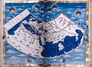
Geographia: An Ancient Blueprint for Mapmaking
Many of history’s major breakthroughs were made by great thinkers





Many of history’s major breakthroughs were made by great thinkers
If you have been following Professor Nick Zentner (CWU) on

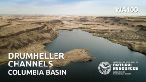
Nestled in the heart of Washington state, the Drumheller Channels

Because of problems with the Zoom broadcast of the Erratics’

Last week, Friends of the Columbia Gorge completed installation on
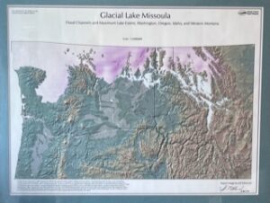
In the early days, the IAFI and National Geologic Trail

Non-members of IAFI have been increasingly taking advantage of our
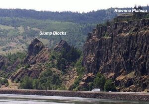
Scenic Rowena Crest and the Tom McCall Preserve area provide

Consuelo Larrabee, a beloved member of the Ice Age Floods

Tualatin, Oregon, lies in its own valley near the head
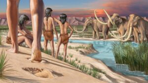
During the last ice age, humans ventured into two vast
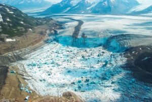
Mendenhall Glacier and other glaciers above Juneau, Alaska, while rapidly
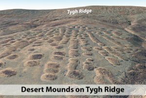
If you’ve visited the Rowena Crest Viewpoint at Tom McCall
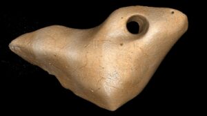
The date that humans arrived in South America has been






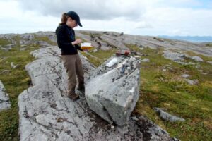
When and how did the first people come to the Americas? The conventional story says that the earliest settlers came via Siberia, crossing the now-defunct Bering land bridge on foot and trekking through Canada when an ice-free corridor opened up between massive ice sheets toward the end of the last
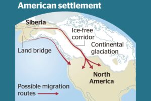
Analysis of how long erratics have been exposed on ice-free ground in the hypothesized “Late Pleistocene ice-free corridor migration route” suggests that route was not fully open until about 13,800 years ago, and the ice sheets “may have been 1,500 to 3,000 feet (455 to 910 m) high in the
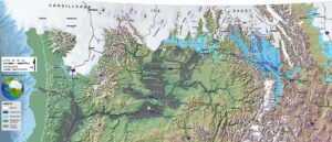
An interesting, 4 minute captioned video from UC Santa Cruz (ingomar200) of a satellite-view computer simulation illustrating flood paths and transient lakes of an Ice Age Flood. The video shows a physics-based computer simulation of the Great Flood from Glacial Lake Missoula about 15,000 years ago. At the time, an ice dam
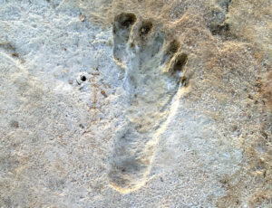
Articles in Science Alert and the New York Times report on a well documented age for many sets of human footprints as old as 23,000 years in the ancient lake shore sands of White Sands, New Mexico. “The footprints were first discovered in 2009 by David Bustos, the park’s resource

An ancient flood seems to have stalled the circulation of the oceans, plunging the Northern Hemisphere into a millennium of near-glacial conditions. Thirteen thousand years ago, an ice age was ending, the Earth was warming, the oceans were rising. Then something strange happened – the Northern Hemisphere suddenly became much
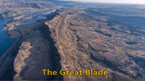
“…there were a few double falls each member of which receded at approximately the same rate, so that the island in mid-channel became very much elongated, like a great blade, as the falls receded and the canyons lengthened.” J Harlen Bretz (1928) A tall, narrow basalt ridge, coined “The Great
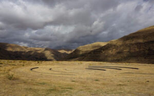
On October 7th at Chief Timothy Park near Clarkston, WA at the latest Confluence Story Gathering, Thomas Morning Owl (Umatilla tribe) noted there are indigenous people’s stories of massive floods going back to 14,000 years ago. While he didn’t elaborate, it would be very interesting to have these stories shared as first-hand
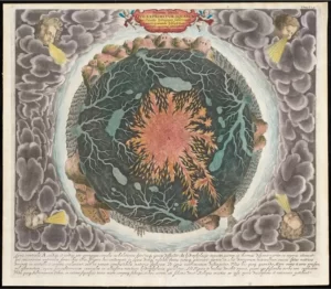
“Beneath Our Feet: Mapping the World Below” plumbs the depths of the question, “What’s beneath our feet?” through maps, images and archaeological artifacts. The exhibition explores nearly 400 years of maps and objects in an attempt to find out why and how humans imagine subterranean landscapes including caves, mines and