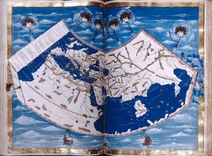
Geographia: An Ancient Blueprint for Mapmaking
Many of history’s major breakthroughs were made by great thinkers





Many of history’s major breakthroughs were made by great thinkers
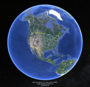
If you have been following Professor Nick Zentner (CWU) on

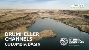
Nestled in the heart of Washington state, the Drumheller Channels

Because of problems with the Zoom broadcast of the Erratics’

Last week, Friends of the Columbia Gorge completed installation on
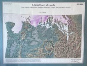
In the early days, the IAFI and National Geologic Trail

Non-members of IAFI have been increasingly taking advantage of our
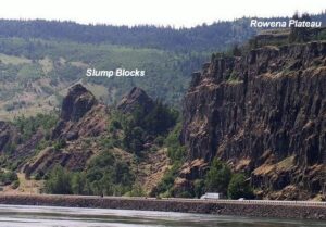
Scenic Rowena Crest and the Tom McCall Preserve area provide

Consuelo Larrabee, a beloved member of the Ice Age Floods
Tualatin, Oregon, lies in its own valley near the head
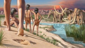
During the last ice age, humans ventured into two vast
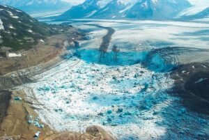
Mendenhall Glacier and other glaciers above Juneau, Alaska, while rapidly
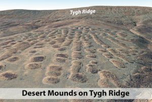
If you’ve visited the Rowena Crest Viewpoint at Tom McCall
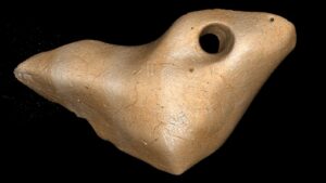
The date that humans arrived in South America has been



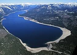


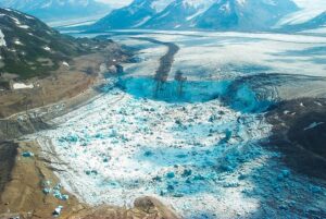
A recent Smithsonian Magazine article gives some interesting insights to present-day Jökulhlaups (glacial outburst floods) that are but minuscule relatives of the cataclysmic Ice Age Floods. Iceberg Lake was on the edge of a western tributary of the Tana Glacier, but in 1999 the lake suddenly vanished. Dammed on its
Monument Valley, the Grand Canyon, Niagara Falls: these ancient wonders show how nature’s forces have shaped the face of our planet on a vast timescale, how great landmarks are the work of millions of years of slow, imperceptible erosion by wind and water. But here, across 16,000 square miles of
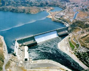
1918 story in the Wenatchee World that Bill Dietrich (former Columbian reporter and later with The Seattle Times) says in his wonderful 1995 book Northwest Passage — The Great Columbia River , “is probably the single most famous newspaper article in Pacific Northwest history. . . It is generally credited

This is an amazing compilation of extra ordinary photographs that have been expertly labeled to assist the viewer’s understanding of the evidence supporting the creation of the Channelled Scablands in Eastern Washington State, USA. The photographs are panned and zoomed in and out on providing an overview and close-ups of
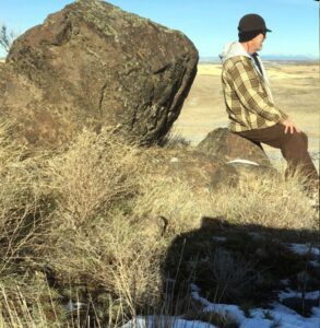
As a city kid in the ‘60s my family occasionally visited my grandparents in the farm country of Washington State’s Waterville plateau. My grandfather and two uncles were wheat farmers near the small town of Withrow, the future site of which had been partly hedged in by the Okanagan lobe

Check out this 2-Minute Geology expedition with Nick Zentner and Tom Foster exploring the Giant Current Ripples at West Bar and Camas Prairie. Ice age floodwater 650 feet deep – moving at 65 miles per hour – left Giant Current Ripples along the Columbia River at West Bar! The ripples
Check out this video about the Washington 100, a cool new geotourism website by the Washington Geological Survey featuring 100 places to experience amazing geology in Washington State. Then explore the website itself at wa100.dnr.wa.gov
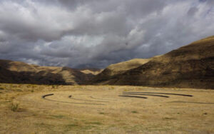
On October 7th at Chief Timothy Park near Clarkston, WA at the latest Confluence Story Gathering, Thomas Morning Owl (Umatilla tribe) noted there are indigenous people’s stories of massive floods going back to 14,000 years ago. While he didn’t elaborate, it would be very interesting to have these stories shared as first-hand