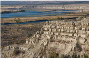
White Bluffs at Hanford Reach
Appearing much different than the nearly ubiquitous Columbia River basalt





Appearing much different than the nearly ubiquitous Columbia River basalt
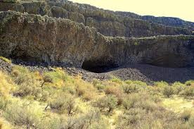
Tucked into the Lenore Canyon are the Lake Lenore Caves. Along
During the last ice age, which route was taken by

Timing, Topography and Type (“Rock Type” that is) Most of

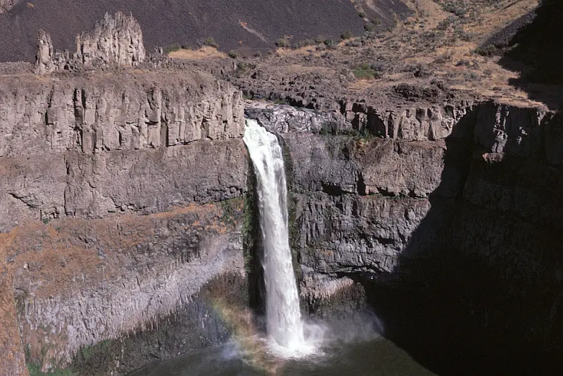
Palouse Falls is visited by thousands each year. The number
Missoula Strandlines Eddy Narrows Beacon Rock Cape Disapointment I’d like


The Othello Sandhill Crane Festival announced the 2023 theme as
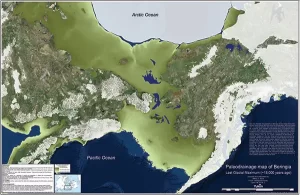
By reconstructing the sea level history of the Bering Strait,
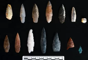
Oregon State University archaeologists have uncovered projectile points in Idaho

Ken Lacy of the IAFI Wenatchee Chapter hosted an information
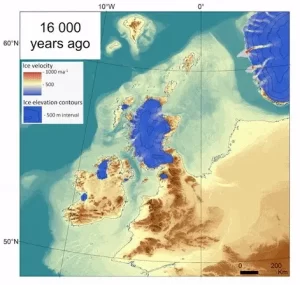
The rapid decline of the British-Irish Ice Sheet thousands of

Bruce Bjornstad is honored to have his photo of Dry
I’d like to start by thanking the Ice Age Floods

I have always loved the ocean. I spent my growing-up years

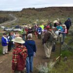
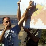

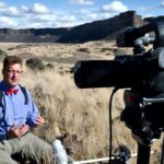



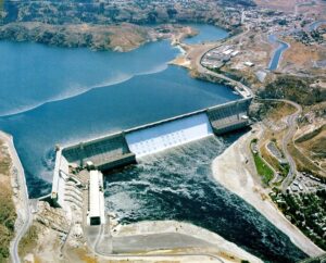
1918 story in the Wenatchee World that Bill Dietrich (former Columbian reporter and later with The Seattle Times) says in his wonderful 1995 book Northwest Passage — The Great Columbia River , “is probably the single most famous newspaper article in Pacific Northwest history. . . It is generally credited
In August, Scott David, a postdoctoral researcher and Karin Lehnigk, a 2nd year PhD candidate from the University of Massachusetts visited the scablands for a week to do field studies. Karin was in search of granite erratics. Samples of these were taken to be processed for Beryllium-10 exposure dating, a
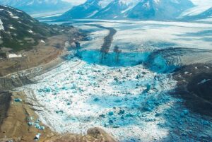
A recent Smithsonian Magazine article gives some interesting insights to present-day Jökulhlaups (glacial outburst floods) that are but minuscule relatives of the cataclysmic Ice Age Floods. Iceberg Lake was on the edge of a western tributary of the Tana Glacier, but in 1999 the lake suddenly vanished. Dammed on its
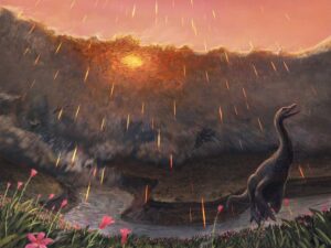
Spring may have been when a roughly seven-mile-wide asteroid struck the Earth, immediately triggering the mass extinction that would wipe out 76 percent of known species. That key piece of timing doesn’t come from dinosaurs, but from the fish that swam in the waters dinosaurs drank from. By studying the

Big feet. Little feet. A heel here. A toe there. A digitally enhanced photo of a footprint found at Calvert Island, British Columbia that researchers dated to 13,000 years old. Credit Duncan McLaren Stamped across the shoreline of Calvert Island, British Columbia, are 13,000-year-old human footprints that archaeologists believe to be
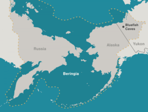
Archaeologists have long debated how and when people entered the Americas. Throughout the 20th century, the mainstream hypothesis was that the Clovis people were the first to pass into Alaska about 13,000 years ago. Stemming from his excavations between 1977 and 1987 at the Bluefish Caves in northwestern Yukon, Jacques

This feature-filled video by Tom Foster and Nick Zentner explores the evidence for Glacial Lake Missoula, and provides a treasure trove of places to visit and sights to see when you plan your field trip to the area.
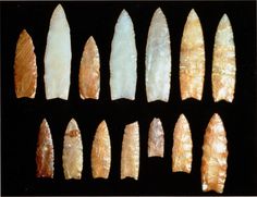
Richard Waitt kindly shared his recent paper published June 2016 in Quaternary Research, titled “Megafloods and Clovis cache at Wenatchee, WA.” “It covers the reach mainly from Chelan Falls to below West Bar, tries to tell the story of sequential megafloods coming to Wenatchee area by different routes at different