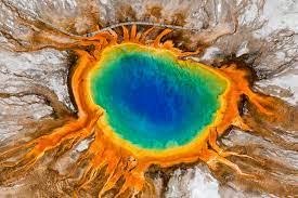
Where (and When) Will Yellowstone Erupt Next?
New research indicates it likely won’t blow today, but one





New research indicates it likely won’t blow today, but one

Traveling east along Lake Roosevelt from the Grand Coulee brings


Scientists say Axial, an undersea volcano off the coast of
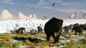
The boggy landscape of the Bering land bridge may have
The Lake Roosevelt National Recreation Area serves as a striking
The Coyote Canyon Mammoth Dig is an active paleontological excavation

Two glacial erratics in the Bitterroot Valley, the Lone Rock
It’s generally accepted that a massive Cascadia earthquake occurred along
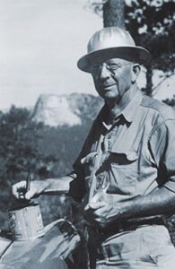
Glenn Cruickshank recently met with Dean Kiefer. who shared a
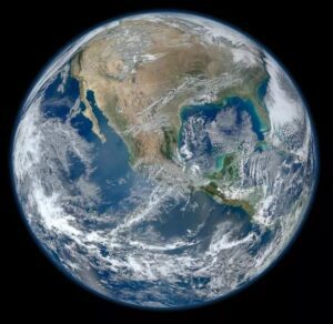
Among the planets in the Solar System, Earth is unique
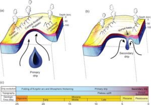
Crinkles and divots in the surface of Earth on Türkiye’s

The Washington Post recently published an article about a scientific
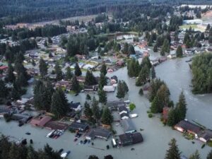
Around 3:30 in the morning on August 6, the first





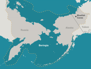
Archaeologists have long debated how and when people entered the Americas. Throughout the 20th century, the mainstream hypothesis was that the Clovis people were the first to pass into Alaska about 13,000 years ago. Stemming from his excavations between 1977 and 1987 at the Bluefish Caves in northwestern Yukon, Jacques
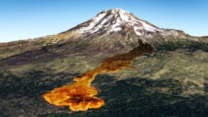
Washington State Geological Survey is collecting, analyzing, and publicly distributing detailed information about our state’s geology using the best available technology – LIDAR – an acronym for Light Detection And Ranging. The main focus of this new push for LIDAR collection is to map landslides, but there are innumerable additional benefits
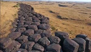
Check out Bruce Bjornstad’s Ice Age Floodscapes YouTube channel. A growing library of surreal aerial video and pics of other-worldly megaflood features.These drone videos and images that can only be achieved and appreiciated from close range in the air give a unique perspective on large landscape features, such as: Gardena Cliffs Rhythmites, Streamlined

In March, while visiting San Diego, I went to the San Diego Museum of Natural History in Balboa Park and toured the remarkable Cerutti Mastodon Site exhibit. This controversial exhibit of a mastodon site is notable for its claim that the mastodon’s bones were broken by humans 130,000 years ago,

Have you ever thought about the how the weight of the ice-age Cordilleran ice sheet might affect the underlying Earth’s crust. There is strong evidence that the crust was depressed hundreds of feet beneath the ice, and since the crust is relatively thin and rigid over a plastic aesthenosphere, that
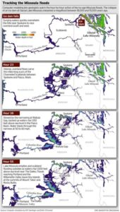
ICYMI (in case you missed it) — Floodwaters rise more than 1,000 feet as they slam into the Columbia River Gorge from the east. The torrent blasts through the narrows at 60 mph, carrying truck-size boulders and house-size icebergs. Reaching Portland, water loaded with gravel and dirt roils to a
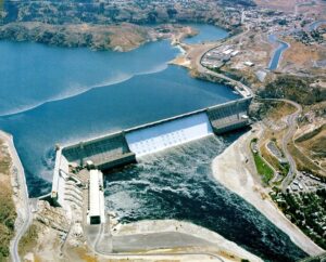
1918 story in the Wenatchee World that Bill Dietrich (former Columbian reporter and later with The Seattle Times) says in his wonderful 1995 book Northwest Passage — The Great Columbia River , “is probably the single most famous newspaper article in Pacific Northwest history. . . It is generally credited
Floods of lava (Columbia River Basalts) and Ice Age Floods of water (Lake Missoula floods and the Bonneville Flood) are world-famous topics among geologists. To have both sets of floods in the same area means the geology of the Inland Northwest is truly Disneyland for Geologists! The program begins in