Exploring Another Montana Flood
One of Montana’s other floods has been tickling the curiosity





One of Montana’s other floods has been tickling the curiosity

The cliffs at Discovery Park in Seattle offer a glimpse

In the approximate center of the state of Washington is
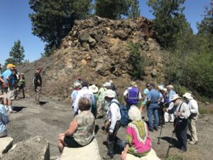
This year’s IAFI June Jamboree delved into the fascinating geological
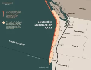
The ground beneath our feet could be more complex than
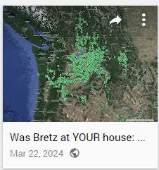
Explore Historical Field Research with Google Maps Did J harlan
National Volunteer Week is an annual celebration established in the
“Scabland” – the Movie, A Google Earth Odyssey “Scabland” is
In my “Tales from the Trail” I usually highlight a

Moses Coulee, a Washington state wonder, has puzzled geologists for

Max Vuletich, a first grader at Jefferson Elementary in Spokane,

Wenatchee, Washington is often called the “Apple Capital of the
An interesting geology tidbit featured today in Nice News: @Jefferies_

I’m an artist using scientific data as an artistic medium
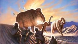
New analysis of a 14,000-year-old woolly mammoth tusk has pieced



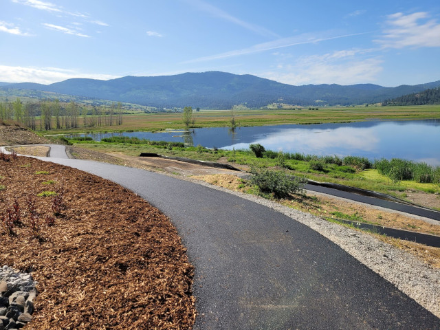



Discover how colossal floods transformed the ancient landscape. All over the world, scientists are discovering traces of ancient floods on a scale that dwarfs even the most severe flood disasters of recent times. What triggered these cataclysmic floods, and could they strike again? In the Channeled Scablands of Washington State,

This 3:50 minute animation, presented by the Crown Point Country Historical Society, illustrates the growth of the Cordilleran Ice Sheet, the damming and back-up of Glacial Lake Missoula, and the progress of an Ice Age Flood through WA and OR after an ice dam collapse.

Geologists have been investigating a potential cycle in geological events for a long time. A recent analysis on the ages of 89 well-understood geological events from the past 260 million years show a catastrophic 27.5 million year pulse in eight clusters of world-changing geologic events over geologically small timespans. This
An interesting, 4 minute captioned video from UC Santa Cruz (ingomar200) of a satellite-view computer simulation illustrating flood paths and transient lakes of an Ice Age Flood. The video shows a physics-based computer simulation of the Great Flood from Glacial Lake Missoula about 15,000 years ago. At the time, an ice dam
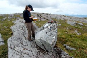
When and how did the first people come to the Americas? The conventional story says that the earliest settlers came via Siberia, crossing the now-defunct Bering land bridge on foot and trekking through Canada when an ice-free corridor opened up between massive ice sheets toward the end of the last
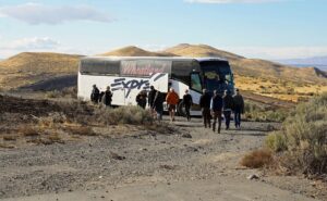
Robert Frost finished his poem “The Road Not Taken” with this verse: I shall be telling this with a sigh Somewhere ages and ages hence: Two roads diverged in a wood, and I— I took the one less traveled by, And that has made all the difference. As our President Gary Ford has
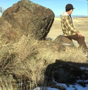
As a city kid in the ‘60s my family occasionally visited my grandparents in the farm country of Washington State’s Waterville plateau. My grandfather and two uncles were wheat farmers near the small town of Withrow, the future site of which had been partly hedged in by the Okanagan lobe
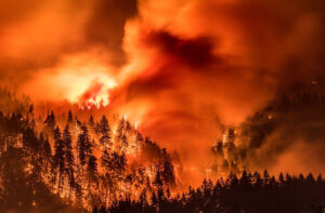
I’ve found there is huge public interest and concern about the catastrophic effects of the Eagle Creek Fire on the Columbia River Gorge. Pictures of ridgeline after ridgeline enveloped in bright orange fire, trees bursting into towering flames, and the choking smoke that filled valleys throughout the Pacific Northwest are