Anthropoclastite – Rock Formed in 35 Years or Less
New research reveals industrial waste can turn into rock in


New research reveals industrial waste can turn into rock in
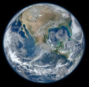
Background The 4.5 billion-year-old Earth is the only known astronomical

Evidence from Earth’s deep past suggests dramatic subduction zones can
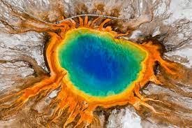
Scientists have discovered a “breathing” magma cap beneath the Yellowstone
Background The 4.5 billion-year-old Earth is the only known astronomical
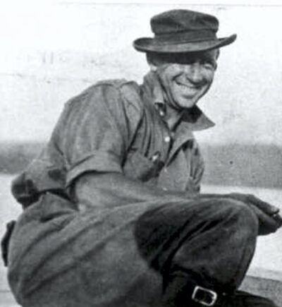
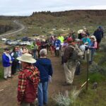
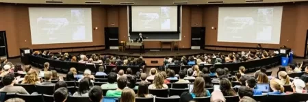
What would you say about a volunteer who has spent
This year marks the 30th anniversary of the Ice Age
Just a short drive east of Cheney, Washington, lies Fish
We know the story…a world gripped by ice. Some twenty
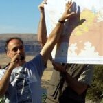
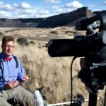
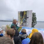
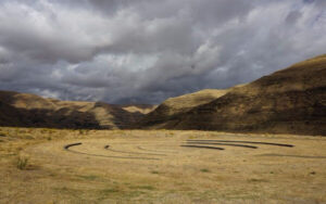
The Mossback’s Northwest production team met in Thurston County last week to
The Oregon Naturalist Program at Oregon State University is partnering
New research indicates it likely won’t blow today, but one

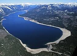
Traveling east along Lake Roosevelt from the Grand Coulee brings


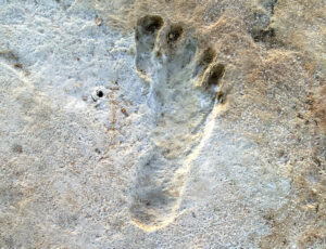
Articles in Science Alert and the New York Times report on a well documented age for many sets of human footprints as old as 23,000 years in the ancient lake shore sands of White Sands, New Mexico. “The footprints were first discovered in 2009 by David Bustos, the park’s resource

Lake Missoula filled many times and emptied catastrophically in many Missoula Floods. Rhythmite sequences [a series of repeated beds of similar origin] at numerous localities provide this evidence: slack-water rhythmites in backflooded tributary valleys below the dam indicate multiple floods, and varved rhythmites in Lake Missoula attest to multiple fillings

Williams Lake Cataract is an ancient, dry waterfall left behind along the Cheney-Palouse Scabland Tract in eastern Washington after Ice Age flooding recessionally ripped out underlying basalt to produce this massive cataract. Video produced by Bruce Bjornstad, Ice Age Floodscapes
This 1/2-hour video begins with the Ice Age Floods impact on the Palouse area, then goes on with a fascinating oral and pictorial history of the area. The video was produced by Mortimore Productions for the Whitman County Library with materials and information provided by a bevy of contributors, including
On October 7th at Chief Timothy Park near Clarkston, WA at the latest Confluence Story Gathering, Thomas Morning Owl (Umatilla tribe) noted there are indigenous people’s stories of massive floods going back to 14,000 years ago. While he didn’t elaborate, it would be very interesting to have these stories shared as first-hand

This is an amazing compilation of extra ordinary photographs that have been expertly labeled to assist the viewer’s understanding of the evidence supporting the creation of the Channelled Scablands in Eastern Washington State, USA. The photographs are panned and zoomed in and out on providing an overview and close-ups of
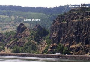
Scenic Rowena Crest and the Tom McCall Preserve area provide an incredibly scenic place to let your feet, and your imagination wander as you look out on a major chokepoint along the Ice Age Floods path. The wildflower displays are amazing during the Spring, but several compelling flood-related features are
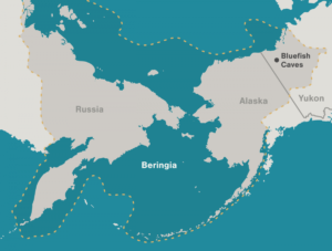
Archaeologists have long debated how and when people entered the Americas. Throughout the 20th century, the mainstream hypothesis was that the Clovis people were the first to pass into Alaska about 13,000 years ago. Stemming from his excavations between 1977 and 1987 at the Bluefish Caves in northwestern Yukon, Jacques