


We came across an interesting article in IFLScience that pertains

We normally include a review of our past year’s activities in our January
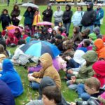
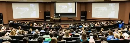
Empowering Teachers to Share the Ice Age Floods Story with Students
Every student in the Northwest should experience the incredible science
Developing an Ice Age Floods Animation Through Science, Partnership, and

The IAFI Store is having a special Winter Inventory Reduction

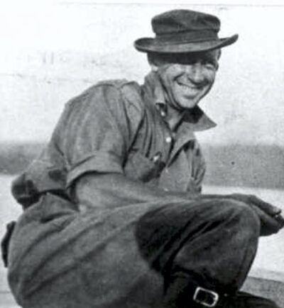
“All creatures, objects, places, and elements have a spirit.” Patrick
Thousands of K-12 students across the Pacific Northwest are
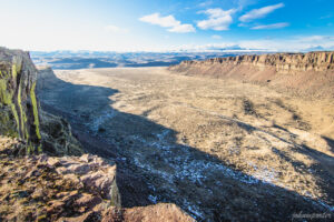
The east bank of the Columbia River near Malaga, Washington,

The Bowl and Pitcher is a rock formation along the
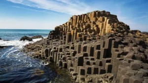
The Giant’s Causeway is a rock formation that is so
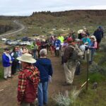
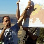
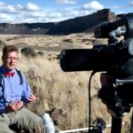
Missoula chapter field trip – tv news coverage Recently the
How bad-faith arguments sow doubt by weaponizing scientific humility Good
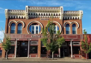
IN THE CITY OF ELLENSBURG… when you want to spend


Ice Age Floods Smithsonian Article Devastating Ice Age Floods That Occurred in the Pacific Northwest Fascinate ScientistsThe Scablands were formed by tremendous and rapid change, and may have something to teach us about geological processes on Marsby Riley Black – Science Correspondent – April 19, 2022 for Smithsonian Magazine The Earth seems to change

There’s a Columbian Mammoth hiding out in Coyote Canyon down Kennewick way, and MCBONES Research Center Foundation is working to uncover his/her hiding place. For a small contribution you can tour this hide-and-seek site, or you can volunteer to help uncover the hidden mammoth. Sound interesting? Find out more in
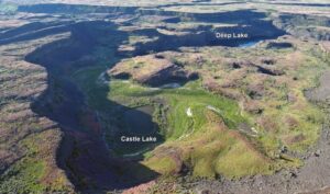
Castle Lake fills a plunge-pool at the base of a 300-ft tall cataract at the opposite (east) end of the Great Cataract Group from Dry Falls, above the east end of Deep Lake. A set of steel ladders put in place during the construction of the Columbia Basin Irrigation Project
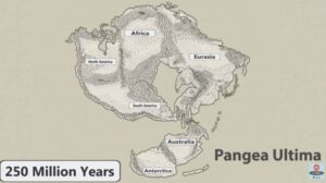
No one can ever say for sure what the future will bring, but this new video has summed up all the science-backed predictions that we can reasonably make about how Earth will change over the next 1 billion years. It’s highly unlikely that anyone will be around to see most
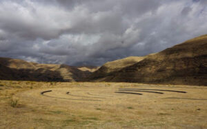
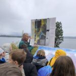
On October 7th at Chief Timothy Park near Clarkston, WA at the latest Confluence Story Gathering, Thomas Morning Owl (Umatilla tribe) noted there are indigenous people’s stories of massive floods going back to 14,000 years ago. While he didn’t elaborate, it would be very interesting to have these stories shared as first-hand
National Geographic has published an outstanding article, “Formed by Megafloods, This Place Fooled Scientists for Decades”, about J Harlan Bretz and his outrageous, fantastical theories of a landscape shaped by huge floods. Most Ice Age Floods aficionados are generally aware of the story, but this one is so detailed and

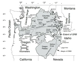
Balbas et. al. use cosmogenic beryllium-10 dating methods to further constrain the timing of ice sheet retreat, as well as the potential pathways for megafloods from both Lake Missoula and Lake Columbia. Read this fascinating Geology article summarizing their findings. Balbas2017 – Missoula Flood Chronology In summary, our new chronological

Do you ever hear the Led Zepplin song “Kashmir” in your head when contemplating the Ice Age Floods? “I am a traveler of both time and space. To be where I have been” –Robert Plant, Led Zepplin’s Kashmir My 11-year old daughter and I are on a 5-day, 4-night raft