Glacial erratics of the Puget Lowland
Strewn among the forests of the Puget Lowland are an





Strewn among the forests of the Puget Lowland are an
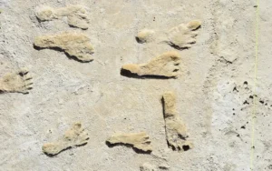
The first people to arrive in the Western Hemisphere were
For much of the 20th century, a sprawling complex in
Two tiny pterosaur fossils, each smaller than a mouse, have
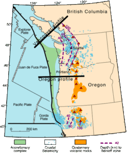
A new study finds a 1954 earthquake that rattled Northern

In the course of writing her weekly “100 Years” column
DNR’s Daniel Coe collaborating with Joel Gombiner has produced a

The Cheney-Spokane Chapter of the Ice Age Floods Institute is

NOVA|PBS is sharing a short 5:16 min) video, THE NEXT

Recent discoveries in Greenland are reshaping our understanding of massive

It’s not every day you meet someone whose passion for

Washington state is famous for its dramatic landscapes, many carved

The 2025 Gorge-ous Gathering, the annual membership meeting of the


The origin story of Hells Canyon, North America’s deepest river






There is considerable controversy regarding when humans first migrated into the Americas and whether they might have been in the local area during any of the Ice Age Floods. This 2016 video, produced by reputable sources, doesn’t answer that question, but it is an interesting and instructive visualization of human
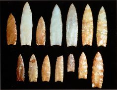
Richard Waitt kindly shared his recent paper published June 2016 in Quaternary Research, titled “Megafloods and Clovis cache at Wenatchee, WA.” “It covers the reach mainly from Chelan Falls to below West Bar, tries to tell the story of sequential megafloods coming to Wenatchee area by different routes at different
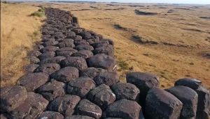
Check out Bruce Bjornstad’s Ice Age Floodscapes YouTube channel. A growing library of surreal aerial video and pics of other-worldly megaflood features.These drone videos and images that can only be achieved and appreiciated from close range in the air give a unique perspective on large landscape features, such as: Gardena Cliffs Rhythmites, Streamlined

This feature-filled video by Tom Foster and Nick Zentner explores the evidence for Glacial Lake Missoula, and provides a treasure trove of places to visit and sights to see when you plan your field trip to the area.
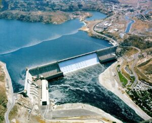
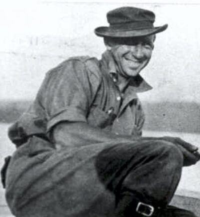
1918 story in the Wenatchee World that Bill Dietrich (former Columbian reporter and later with The Seattle Times) says in his wonderful 1995 book Northwest Passage — The Great Columbia River , “is probably the single most famous newspaper article in Pacific Northwest history. . . It is generally credited
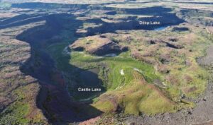
Castle Lake fills a plunge-pool at the base of a 300-ft tall cataract at the opposite (east) end of the Great Cataract Group from Dry Falls, above the east end of Deep Lake. A set of steel ladders put in place during the construction of the Columbia Basin Irrigation Project

Lake Missoula filled many times and emptied catastrophically in many Missoula Floods. Rhythmite sequences [a series of repeated beds of similar origin] at numerous localities provide this evidence: slack-water rhythmites in backflooded tributary valleys below the dam indicate multiple floods, and varved rhythmites in Lake Missoula attest to multiple fillings
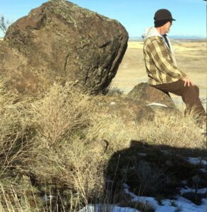
As a city kid in the ‘60s my family occasionally visited my grandparents in the farm country of Washington State’s Waterville plateau. My grandfather and two uncles were wheat farmers near the small town of Withrow, the future site of which had been partly hedged in by the Okanagan lobe