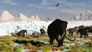
Whispers from a Frozen Past: “We Have The Bones” – McBones Mammoth Dig
We know the story…a world gripped by ice. Some twenty


We know the story…a world gripped by ice. Some twenty
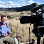
The Mossback’s Northwest production team met in Thurston County last week to
The Oregon Naturalist Program at Oregon State University is partnering
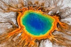
New research indicates it likely won’t blow today, but one

Traveling east along Lake Roosevelt from the Grand Coulee brings


Scientists say Axial, an undersea volcano off the coast of
The boggy landscape of the Bering land bridge may have
The Lake Roosevelt National Recreation Area serves as a striking
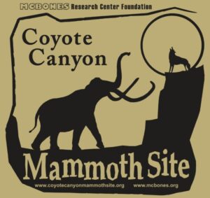
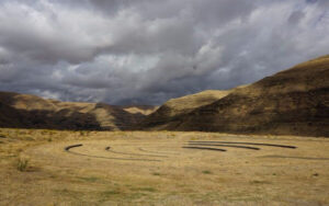
The Coyote Canyon Mammoth Dig is an active paleontological excavation

Two glacial erratics in the Bitterroot Valley, the Lone Rock
It’s generally accepted that a massive Cascadia earthquake occurred along
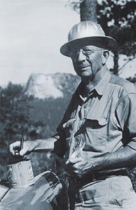
Glenn Cruickshank recently met with Dean Kiefer. who shared a
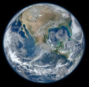
Among the planets in the Solar System, Earth is unique


Balbas et. al. use cosmogenic beryllium-10 dating methods to further constrain the timing of ice sheet retreat, as well as the potential pathways for megafloods from both Lake Missoula and Lake Columbia. Read this fascinating Geology article summarizing their findings. Balbas2017 – Missoula Flood Chronology In summary, our new chronological
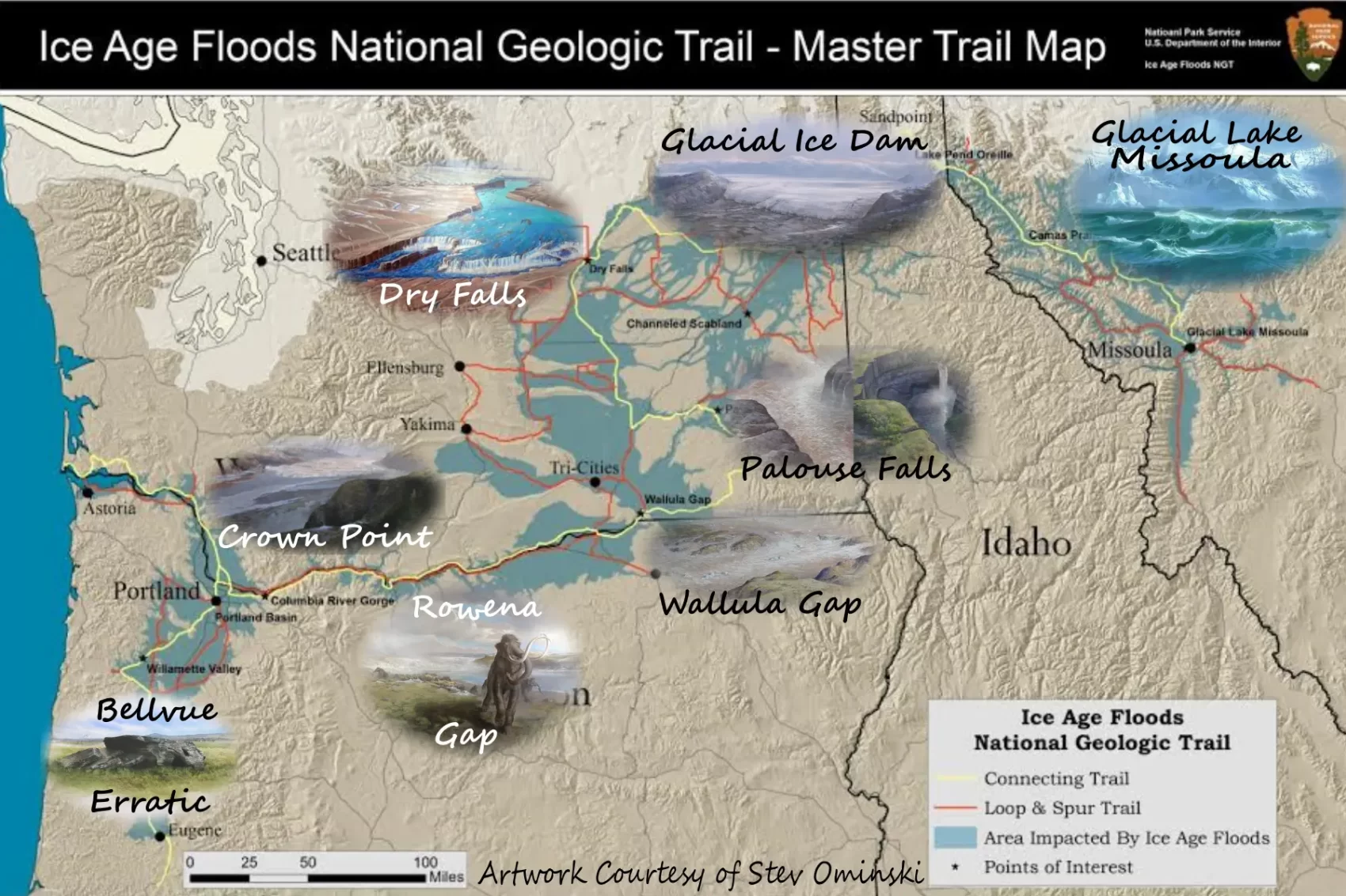
In September 2021 my wife and I took a trip to see what was new along the Ice Age Floods National Geologic Trail and visit some places we did not make it to in our very first trip in 2004. The IAFI chapter brochures were very helpful in learning what

Chris Goodell’s 1-hour video presentation of his Ice Age Flood hydraulic modeling is both enlightening and thought provoking. Chris is a hydraulic modeling professional for Kleinschmidt Group, whose personal interest in the Ice Age Floods phenomenon led him to privately undertake HEC-RAS modeling of a possible Ice Age Flood hydraulic

Check out this 2-Minute Geology expedition with Nick Zentner and Tom Foster exploring the Giant Current Ripples at West Bar and Camas Prairie. Ice age floodwater 650 feet deep – moving at 65 miles per hour – left Giant Current Ripples along the Columbia River at West Bar! The ripples

This is an amazing compilation of extra ordinary photographs that have been expertly labeled to assist the viewer’s understanding of the evidence supporting the creation of the Channelled Scablands in Eastern Washington State, USA. The photographs are panned and zoomed in and out on providing an overview and close-ups of

An ancient flood seems to have stalled the circulation of the oceans, plunging the Northern Hemisphere into a millennium of near-glacial conditions. Thirteen thousand years ago, an ice age was ending, the Earth was warming, the oceans were rising. Then something strange happened – the Northern Hemisphere suddenly became much
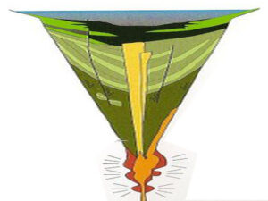
Palagonite Maar Just west of Hood River is a distinctive, short (<500 m) section of stratified orangeish oxidized volcanic tephra and highly fractured lava bombs. This mixture of oxidized volcanic particles ranging down to sub-micrometer sizes mixed with the larger lava bombs is a palagonite tuff. This deposit is the result of a “phreatic” eruption when lava erupted explosively
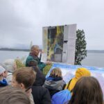
On October 7th at Chief Timothy Park near Clarkston, WA at the latest Confluence Story Gathering, Thomas Morning Owl (Umatilla tribe) noted there are indigenous people’s stories of massive floods going back to 14,000 years ago. While he didn’t elaborate, it would be very interesting to have these stories shared as first-hand