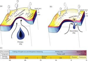
A New Class of Plate Tectonics – Lithospheric Dripping
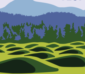
Crinkles and divots in the surface of Earth on Türkiye’s


Crinkles and divots in the surface of Earth on Türkiye’s

The Washington Post recently published an article about a scientific
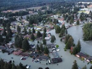
Around 3:30 in the morning on August 6, the first
One of Montana’s other floods has been tickling the curiosity

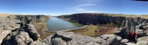
The cliffs at Discovery Park in Seattle offer a glimpse

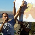
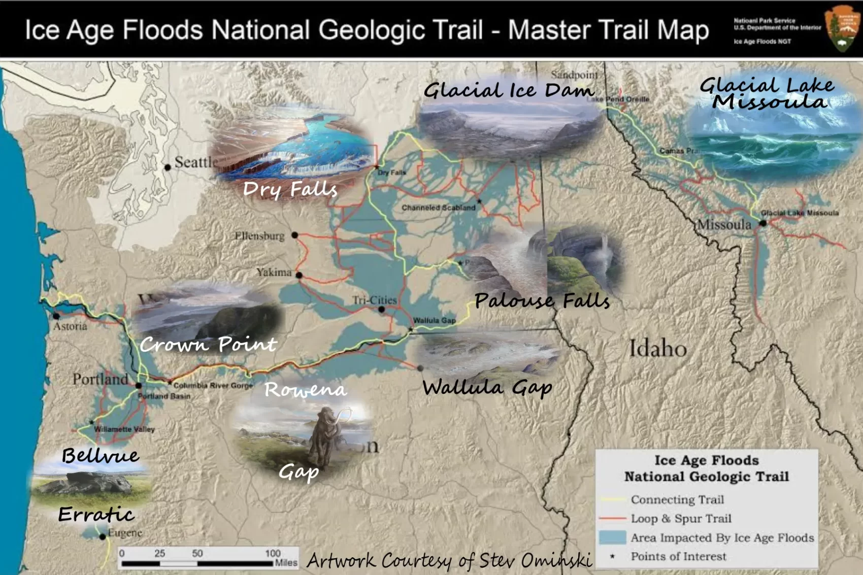
In the approximate center of the state of Washington is
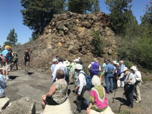
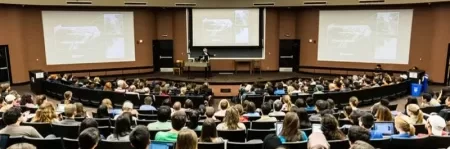
This year’s IAFI June Jamboree delved into the fascinating geological
The ground beneath our feet could be more complex than
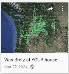
Explore Historical Field Research with Google Maps Did J harlan
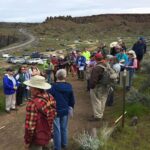
National Volunteer Week is an annual celebration established in the
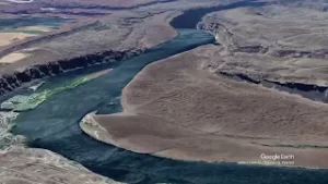
“Scabland” – the Movie, A Google Earth Odyssey “Scabland” is
In my “Tales from the Trail” I usually highlight a

Moses Coulee, a Washington state wonder, has puzzled geologists for

Max Vuletich, a first grader at Jefferson Elementary in Spokane,

Wenatchee, Washington is often called the “Apple Capital of the


Do you ever hear the Led Zepplin song “Kashmir” in your head when contemplating the Ice Age Floods? “I am a traveler of both time and space. To be where I have been” –Robert Plant, Led Zepplin’s Kashmir My 11-year old daughter and I are on a 5-day, 4-night raft

Chris Goodell’s 1-hour video presentation of his Ice Age Flood hydraulic modeling is both enlightening and thought provoking. Chris is a hydraulic modeling professional for Kleinschmidt Group, whose personal interest in the Ice Age Floods phenomenon led him to privately undertake HEC-RAS modeling of a possible Ice Age Flood hydraulic
Floods of lava (Columbia River Basalts) and Ice Age Floods of water (Lake Missoula floods and the Bonneville Flood) are world-famous topics among geologists. To have both sets of floods in the same area means the geology of the Inland Northwest is truly Disneyland for Geologists! The program begins in
Check out this video about the Washington 100, a cool new geotourism website by the Washington Geological Survey featuring 100 places to experience amazing geology in Washington State. Then explore the website itself at wa100.dnr.wa.gov
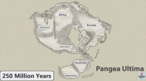
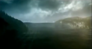
No one can ever say for sure what the future will bring, but this new video has summed up all the science-backed predictions that we can reasonably make about how Earth will change over the next 1 billion years. It’s highly unlikely that anyone will be around to see most
Monument Valley, the Grand Canyon, Niagara Falls: these ancient wonders show how nature’s forces have shaped the face of our planet on a vast timescale, how great landmarks are the work of millions of years of slow, imperceptible erosion by wind and water. But here, across 16,000 square miles of

The Washington Geological Survey (formerly the Division of Geology and Earth Resources) has just released an ESRI story map about the Ice Age Floods in Washington. The story map: “tells the story of cataclysmic outburst floods that shaped the landscape of the Pacific Northwest during the last ice age. With
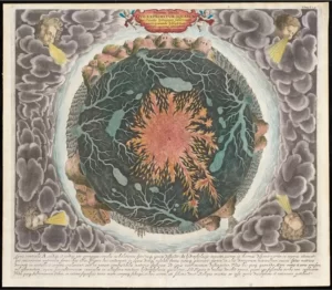
“Beneath Our Feet: Mapping the World Below” plumbs the depths of the question, “What’s beneath our feet?” through maps, images and archaeological artifacts. The exhibition explores nearly 400 years of maps and objects in an attempt to find out why and how humans imagine subterranean landscapes including caves, mines and