Dry Falls and Channeled Scabland included in top 100 Geological Heritage Sites Worldwide
Bruce Bjornstad is honored to have his photo of Dry





Bruce Bjornstad is honored to have his photo of Dry
I’d like to start by thanking the Ice Age Floods

I have always loved the ocean. I spent my growing-up years

It’s been several years since our IAFI.org website first appeared

A near failure of berries and upland food sources has

Since late last year the Ice Age Floods Institute has

Our long time IAFI Membership Manager, Sylvia Thompson and her

We’re sad to report that James “Jim” William Pritchard of Ephrata,

“To see a world in a grain of sand”, the
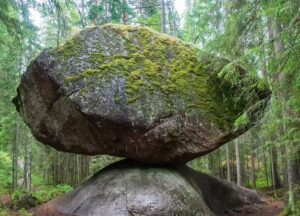
Our brains are pretty good at physics. For instance, you
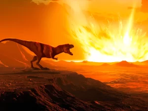
A newly discovered crater suggests a second impact that would

Some 240 million years ago, an enormous supercontinent known as

To date, Earth is the only planet we know of

A 37,000-year-old mammoth butchering site, uncovered in New Mexico, might

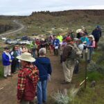
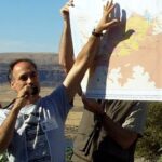


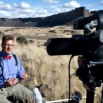
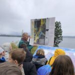





In August, Scott David, a postdoctoral researcher and Karin Lehnigk, a 2nd year PhD candidate from the University of Massachusetts visited the scablands for a week to do field studies. Karin was in search of granite erratics. Samples of these were taken to be processed for Beryllium-10 exposure dating, a
Monument Valley, the Grand Canyon, Niagara Falls: these ancient wonders show how nature’s forces have shaped the face of our planet on a vast timescale, how great landmarks are the work of millions of years of slow, imperceptible erosion by wind and water. But here, across 16,000 square miles of
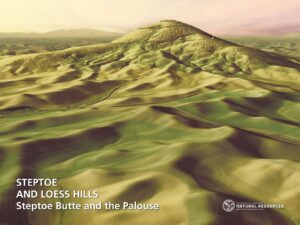
The Washington Geological Survey (WGS) has released 50 high-resolution lidar-derived images of the State’s geology and geomorphology through the Washington State DNR’s Flickr page. The images are available in 16:9 format (7,200 x 4,050 pixels) and 4:3 format (7,200 x 5,400 pixels). Ten of the images are new (see below)
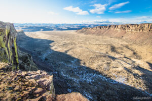
Ice Age Floods Smithsonian Article Devastating Ice Age Floods That Occurred in the Pacific Northwest Fascinate ScientistsThe Scablands were formed by tremendous and rapid change, and may have something to teach us about geological processes on Marsby Riley Black – Science Correspondent – April 19, 2022 for Smithsonian Magazine The Earth seems to change
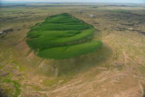
National Geographic has published an outstanding article, “Formed by Megafloods, This Place Fooled Scientists for Decades”, about J Harlan Bretz and his outrageous, fantastical theories of a landscape shaped by huge floods. Most Ice Age Floods aficionados are generally aware of the story, but this one is so detailed and
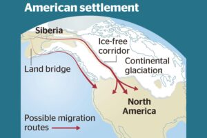
Analysis of how long erratics have been exposed on ice-free ground in the hypothesized “Late Pleistocene ice-free corridor migration route” suggests that route was not fully open until about 13,800 years ago, and the ice sheets “may have been 1,500 to 3,000 feet (455 to 910 m) high in the
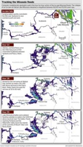
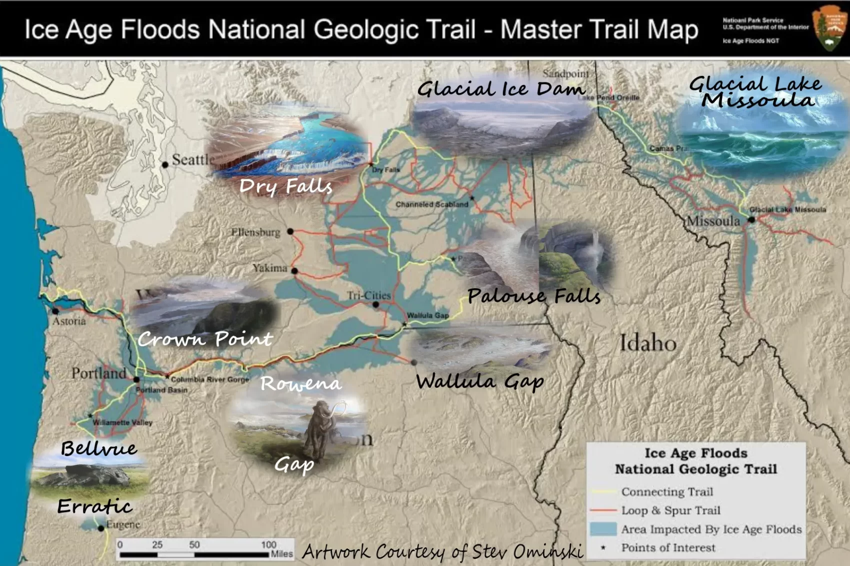
ICYMI (in case you missed it) — Floodwaters rise more than 1,000 feet as they slam into the Columbia River Gorge from the east. The torrent blasts through the narrows at 60 mph, carrying truck-size boulders and house-size icebergs. Reaching Portland, water loaded with gravel and dirt roils to a

Discover how colossal floods transformed the ancient landscape. All over the world, scientists are discovering traces of ancient floods on a scale that dwarfs even the most severe flood disasters of recent times. What triggered these cataclysmic floods, and could they strike again? In the Channeled Scablands of Washington State,