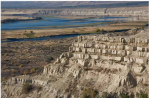
White Bluffs at Hanford Reach
Appearing much different than the nearly ubiquitous Columbia River basalt





Appearing much different than the nearly ubiquitous Columbia River basalt
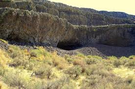
Tucked into the Lenore Canyon are the Lake Lenore Caves. Along
During the last ice age, which route was taken by

Timing, Topography and Type (“Rock Type” that is) Most of

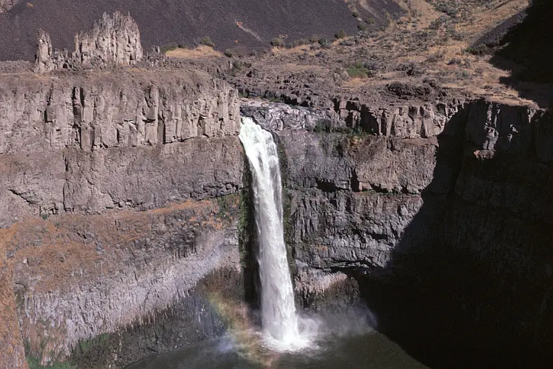
Palouse Falls is visited by thousands each year. The number
Missoula Strandlines Eddy Narrows Beacon Rock Cape Disapointment I’d like


The Othello Sandhill Crane Festival announced the 2023 theme as
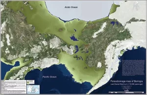
By reconstructing the sea level history of the Bering Strait,
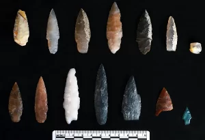
Oregon State University archaeologists have uncovered projectile points in Idaho

Ken Lacy of the IAFI Wenatchee Chapter hosted an information
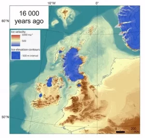
The rapid decline of the British-Irish Ice Sheet thousands of

Bruce Bjornstad is honored to have his photo of Dry
I’d like to start by thanking the Ice Age Floods
I have always loved the ocean. I spent my growing-up years




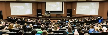


Chris Goodell’s 1-hour video presentation of his Ice Age Flood hydraulic modeling is both enlightening and thought provoking. Chris is a hydraulic modeling professional for Kleinschmidt Group, whose personal interest in the Ice Age Floods phenomenon led him to privately undertake HEC-RAS modeling of a possible Ice Age Flood hydraulic

Williams Lake Cataract is an ancient, dry waterfall left behind along the Cheney-Palouse Scabland Tract in eastern Washington after Ice Age flooding recessionally ripped out underlying basalt to produce this massive cataract. Video produced by Bruce Bjornstad, Ice Age Floodscapes

In what may be the most dramatic mass extinction in Earth’s history, an asteroid impacted our planet 66 million years ago near what is now Chicxulub on the Yucatan Peninsula. The resulting hellscape extinguished 75 percent of then living species – including all non-avian dinosaurs. Over the last few years, scientists

The Columbia River Gorge is an incredibly popular area to visit, and that’s for good reason, the setting is uniquely spectacular. The Gorge encompasses: Easily accessible ecozones that range through boreal conifer forests, oak woodlands, high desert grasslands and alpine environments in only 40 miles, Dazzling viewpoints and scenery, including
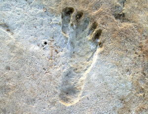
Articles in Science Alert and the New York Times report on a well documented age for many sets of human footprints as old as 23,000 years in the ancient lake shore sands of White Sands, New Mexico. “The footprints were first discovered in 2009 by David Bustos, the park’s resource
This 1/2-hour video begins with the Ice Age Floods impact on the Palouse area, then goes on with a fascinating oral and pictorial history of the area. The video was produced by Mortimore Productions for the Whitman County Library with materials and information provided by a bevy of contributors, including
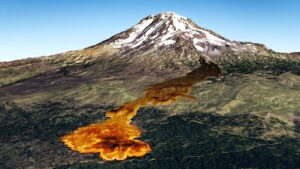
Washington State Geological Survey is collecting, analyzing, and publicly distributing detailed information about our state’s geology using the best available technology – LIDAR – an acronym for Light Detection And Ranging. The main focus of this new push for LIDAR collection is to map landslides, but there are innumerable additional benefits
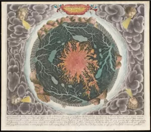
“Beneath Our Feet: Mapping the World Below” plumbs the depths of the question, “What’s beneath our feet?” through maps, images and archaeological artifacts. The exhibition explores nearly 400 years of maps and objects in an attempt to find out why and how humans imagine subterranean landscapes including caves, mines and