




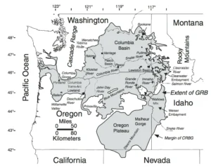
It has been well proven that the Missoula Floods greatly
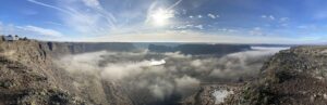
Without aerial views of the Ice Age Flood lands, we
We came across an interesting article in IFLScience that pertains

We normally include a review of our past year’s activities in our January

Empowering Teachers to Share the Ice Age Floods Story with Students

Every student in the Northwest should experience the incredible science
Developing an Ice Age Floods Animation Through Science, Partnership, and

The IAFI Store is having a special Winter Inventory Reduction

“All creatures, objects, places, and elements have a spirit.” Patrick
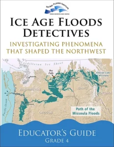
Thousands of K-12 students across the Pacific Northwest are

The east bank of the Columbia River near Malaga, Washington,

The Bowl and Pitcher is a rock formation along the
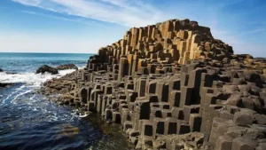
The Giant’s Causeway is a rock formation that is so





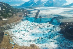
A recent Smithsonian Magazine article gives some interesting insights to present-day Jökulhlaups (glacial outburst floods) that are but minuscule relatives of the cataclysmic Ice Age Floods. Iceberg Lake was on the edge of a western tributary of the Tana Glacier, but in 1999 the lake suddenly vanished. Dammed on its

Big feet. Little feet. A heel here. A toe there. A digitally enhanced photo of a footprint found at Calvert Island, British Columbia that researchers dated to 13,000 years old. Credit Duncan McLaren Stamped across the shoreline of Calvert Island, British Columbia, are 13,000-year-old human footprints that archaeologists believe to be
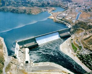
1918 story in the Wenatchee World that Bill Dietrich (former Columbian reporter and later with The Seattle Times) says in his wonderful 1995 book Northwest Passage — The Great Columbia River , “is probably the single most famous newspaper article in Pacific Northwest history. . . It is generally credited
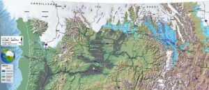
An interesting, 4 minute captioned video from UC Santa Cruz (ingomar200) of a satellite-view computer simulation illustrating flood paths and transient lakes of an Ice Age Flood. The video shows a physics-based computer simulation of the Great Flood from Glacial Lake Missoula about 15,000 years ago. At the time, an ice dam
In September 2021 my wife and I took a trip to see what was new along the Ice Age Floods National Geologic Trail and visit some places we did not make it to in our very first trip in 2004. The IAFI chapter brochures were very helpful in learning what

An ancient flood seems to have stalled the circulation of the oceans, plunging the Northern Hemisphere into a millennium of near-glacial conditions. Thirteen thousand years ago, an ice age was ending, the Earth was warming, the oceans were rising. Then something strange happened – the Northern Hemisphere suddenly became much

This is an amazing compilation of extra ordinary photographs that have been expertly labeled to assist the viewer’s understanding of the evidence supporting the creation of the Channelled Scablands in Eastern Washington State, USA. The photographs are panned and zoomed in and out on providing an overview and close-ups of
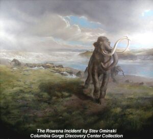
New research reveals the ancient animals survived some 8,000 years later than previously thought Frozen soil samples collected around a decade ago are rewriting our understanding of iconic Ice Age animals like the woolly mammoth. The soil samples were pulled from Canada’s permafrost in the early 2010s, but no work