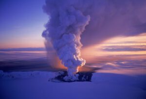
Geologists predict an Undersea volcano off the Oregon coast could erupt this year
Scientists say Axial, an undersea volcano off the coast of


Scientists say Axial, an undersea volcano off the coast of
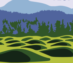
The boggy landscape of the Bering land bridge may have
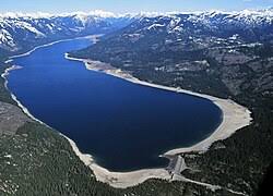
The Lake Roosevelt National Recreation Area serves as a striking
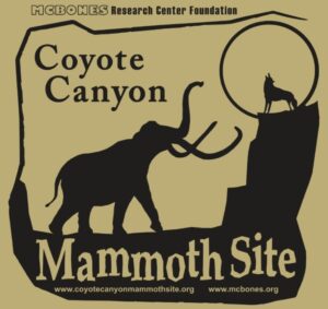
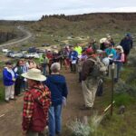
The Coyote Canyon Mammoth Dig is an active paleontological excavation

Two glacial erratics in the Bitterroot Valley, the Lone Rock
It’s generally accepted that a massive Cascadia earthquake occurred along
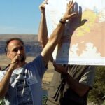
Glenn Cruickshank recently met with Dean Kiefer. who shared a
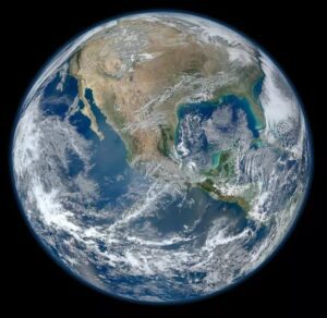
Among the planets in the Solar System, Earth is unique
Crinkles and divots in the surface of Earth on Türkiye’s

The Washington Post recently published an article about a scientific
Around 3:30 in the morning on August 6, the first
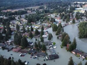
One of Montana’s other floods has been tickling the curiosity

The cliffs at Discovery Park in Seattle offer a glimpse

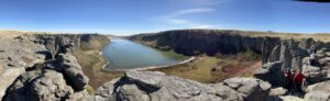
In the approximate center of the state of Washington is


Bluefish Caves directly challenged mainstream scientific thinking. Evidence had long suggested that humans first reached the Americas around 13,000 years ago, when Asian hunters crossed a now submerged landmass known as Beringia, which joined Siberia to Alaska and Yukon during the last ice age. From there, the migrants seemed to
Check out this video about the Washington 100, a cool new geotourism website by the Washington Geological Survey featuring 100 places to experience amazing geology in Washington State. Then explore the website itself at wa100.dnr.wa.gov
Floods of lava (Columbia River Basalts) and Ice Age Floods of water (Lake Missoula floods and the Bonneville Flood) are world-famous topics among geologists. To have both sets of floods in the same area means the geology of the Inland Northwest is truly Disneyland for Geologists! The program begins in
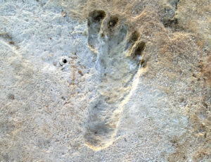
Articles in Science Alert and the New York Times report on a well documented age for many sets of human footprints as old as 23,000 years in the ancient lake shore sands of White Sands, New Mexico. “The footprints were first discovered in 2009 by David Bustos, the park’s resource

Do you ever hear the Led Zepplin song “Kashmir” in your head when contemplating the Ice Age Floods? “I am a traveler of both time and space. To be where I have been” –Robert Plant, Led Zepplin’s Kashmir My 11-year old daughter and I are on a 5-day, 4-night raft
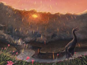
Spring may have been when a roughly seven-mile-wide asteroid struck the Earth, immediately triggering the mass extinction that would wipe out 76 percent of known species. That key piece of timing doesn’t come from dinosaurs, but from the fish that swam in the waters dinosaurs drank from. By studying the
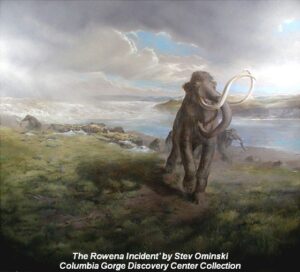
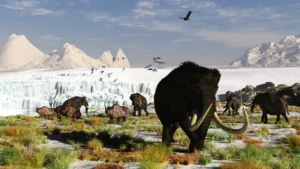
New research reveals the ancient animals survived some 8,000 years later than previously thought Frozen soil samples collected around a decade ago are rewriting our understanding of iconic Ice Age animals like the woolly mammoth. The soil samples were pulled from Canada’s permafrost in the early 2010s, but no work
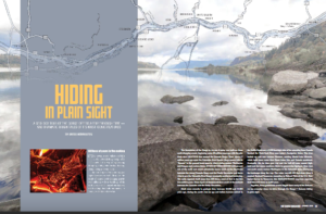
Millions of people who visit and pass through the Gorge each year don’t realize the scope of the cataclysmic stories behind the stunning and tranquil beauty they are surrounded by. The Spring 2019 edition of The Gorge Magazine (page 50) attempts to address that premise with a feature article about