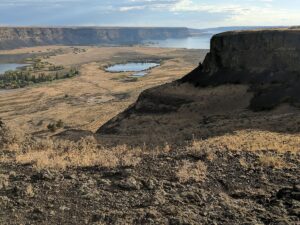






Frenchman Coulee Ice Age Floods National Geologic Trail Frenchman Coulee

Hiking Drumheller Channels Ice Age Floods National Geologic Trail There
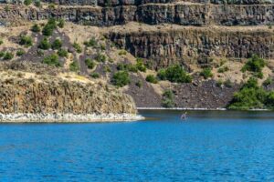
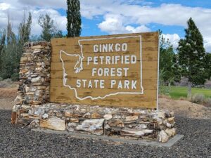
Ginkgo Petrified Forest State Park Interpretive Center Ginkgo Petrified Forest
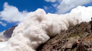
On Friday,July 8 around 2:45 p.m., British tourist Harry

This episode of Grant’s Getaways features Lower Columbia President Rick

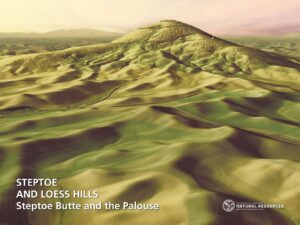
WA Geology Releases Stunning Lidar Images The Washington Geological Survey
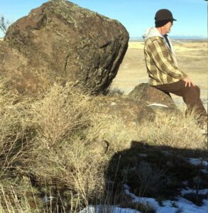
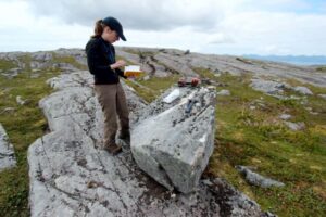
First People in the Americas – When? How? When and

Waning Pleistocene Ice Sheet Affected Megaflood Paths and Local Shorelines
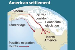








When and how did the first people come to the Americas? The conventional story says that the earliest settlers came via Siberia, crossing the now-defunct Bering land bridge on foot and trekking through Canada when an ice-free corridor opened up between massive ice sheets toward the end of the last
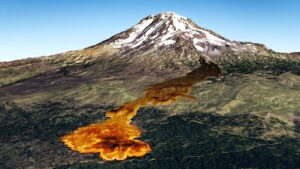
Washington State Geological Survey is collecting, analyzing, and publicly distributing detailed information about our state’s geology using the best available technology – LIDAR – an acronym for Light Detection And Ranging. The main focus of this new push for LIDAR collection is to map landslides, but there are innumerable additional benefits
The Washington Geological Survey (WGS) has released 50 high-resolution lidar-derived images of the State’s geology and geomorphology through the Washington State DNR’s Flickr page. The images are available in 16:9 format (7,200 x 4,050 pixels) and 4:3 format (7,200 x 5,400 pixels). Ten of the images are new (see below)
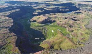
Castle Lake fills a plunge-pool at the base of a 300-ft tall cataract at the opposite (east) end of the Great Cataract Group from Dry Falls, above the east end of Deep Lake. A set of steel ladders put in place during the construction of the Columbia Basin Irrigation Project

An ancient flood seems to have stalled the circulation of the oceans, plunging the Northern Hemisphere into a millennium of near-glacial conditions. Thirteen thousand years ago, an ice age was ending, the Earth was warming, the oceans were rising. Then something strange happened – the Northern Hemisphere suddenly became much
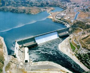
1918 story in the Wenatchee World that Bill Dietrich (former Columbian reporter and later with The Seattle Times) says in his wonderful 1995 book Northwest Passage — The Great Columbia River , “is probably the single most famous newspaper article in Pacific Northwest history. . . It is generally credited
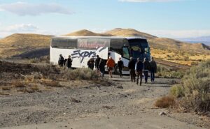
Robert Frost finished his poem “The Road Not Taken” with this verse: I shall be telling this with a sigh Somewhere ages and ages hence: Two roads diverged in a wood, and I— I took the one less traveled by, And that has made all the difference. As our President Gary Ford has
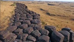
Check out Bruce Bjornstad’s Ice Age Floodscapes YouTube channel. A growing library of surreal aerial video and pics of other-worldly megaflood features.These drone videos and images that can only be achieved and appreiciated from close range in the air give a unique perspective on large landscape features, such as: Gardena Cliffs Rhythmites, Streamlined