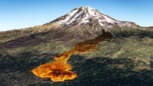
Geologists predict an Undersea volcano off the Oregon coast could erupt this year
Scientists say Axial, an undersea volcano off the coast of


Scientists say Axial, an undersea volcano off the coast of
The boggy landscape of the Bering land bridge may have
The Lake Roosevelt National Recreation Area serves as a striking
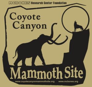
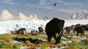
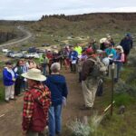
The Coyote Canyon Mammoth Dig is an active paleontological excavation

Two glacial erratics in the Bitterroot Valley, the Lone Rock
It’s generally accepted that a massive Cascadia earthquake occurred along
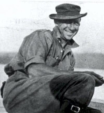
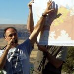
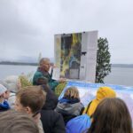
Glenn Cruickshank recently met with Dean Kiefer. who shared a
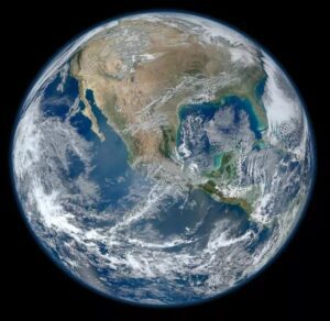
Among the planets in the Solar System, Earth is unique
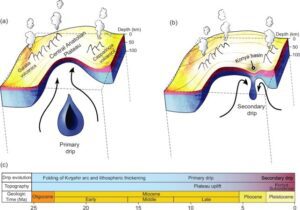
Crinkles and divots in the surface of Earth on Türkiye’s

The Washington Post recently published an article about a scientific
Around 3:30 in the morning on August 6, the first
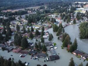
One of Montana’s other floods has been tickling the curiosity

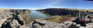
The cliffs at Discovery Park in Seattle offer a glimpse

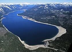
In the approximate center of the state of Washington is


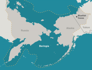
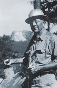
Archaeologists have long debated how and when people entered the Americas. Throughout the 20th century, the mainstream hypothesis was that the Clovis people were the first to pass into Alaska about 13,000 years ago. Stemming from his excavations between 1977 and 1987 at the Bluefish Caves in northwestern Yukon, Jacques
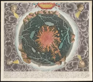
“Beneath Our Feet: Mapping the World Below” plumbs the depths of the question, “What’s beneath our feet?” through maps, images and archaeological artifacts. The exhibition explores nearly 400 years of maps and objects in an attempt to find out why and how humans imagine subterranean landscapes including caves, mines and
Washington State Geological Survey is collecting, analyzing, and publicly distributing detailed information about our state’s geology using the best available technology – LIDAR – an acronym for Light Detection And Ranging. The main focus of this new push for LIDAR collection is to map landslides, but there are innumerable additional benefits

There’s a Columbian Mammoth hiding out in Coyote Canyon down Kennewick way, and MCBONES Research Center Foundation is working to uncover his/her hiding place. For a small contribution you can tour this hide-and-seek site, or you can volunteer to help uncover the hidden mammoth. Sound interesting? Find out more in

There is considerable controversy regarding when humans first migrated into the Americas and whether they might have been in the local area during any of the Ice Age Floods. This 2016 video, produced by reputable sources, doesn’t answer that question, but it is an interesting and instructive visualization of human
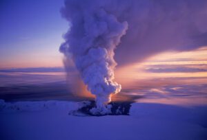
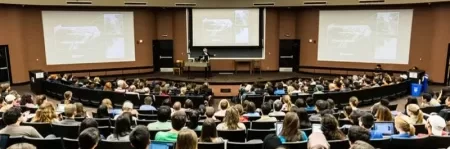
Floods of lava (Columbia River Basalts) and Ice Age Floods of water (Lake Missoula floods and the Bonneville Flood) are world-famous topics among geologists. To have both sets of floods in the same area means the geology of the Inland Northwest is truly Disneyland for Geologists! The program begins in

An ancient flood seems to have stalled the circulation of the oceans, plunging the Northern Hemisphere into a millennium of near-glacial conditions. Thirteen thousand years ago, an ice age was ending, the Earth was warming, the oceans were rising. Then something strange happened – the Northern Hemisphere suddenly became much

Geologists have been investigating a potential cycle in geological events for a long time. A recent analysis on the ages of 89 well-understood geological events from the past 260 million years show a catastrophic 27.5 million year pulse in eight clusters of world-changing geologic events over geologically small timespans. This