Was the 1700 Cascadia earthquake one or many ruptures?
It’s generally accepted that a massive Cascadia earthquake occurred along





It’s generally accepted that a massive Cascadia earthquake occurred along
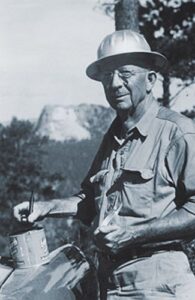
Glenn Cruickshank recently met with Dean Kiefer. who shared a
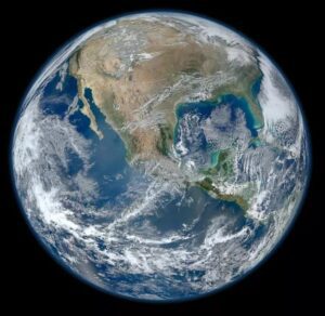
Among the planets in the Solar System, Earth is unique
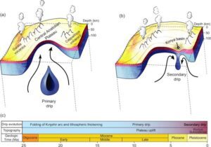
Crinkles and divots in the surface of Earth on Türkiye’s

The Washington Post recently published an article about a scientific
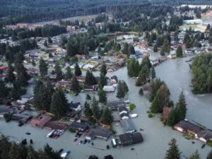
Around 3:30 in the morning on August 6, the first
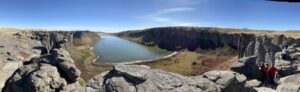
One of Montana’s other floods has been tickling the curiosity

The cliffs at Discovery Park in Seattle offer a glimpse

In the approximate center of the state of Washington is
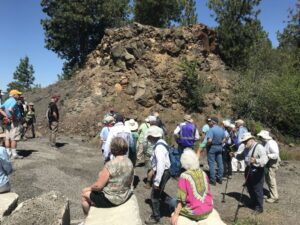
This year’s IAFI June Jamboree delved into the fascinating geological
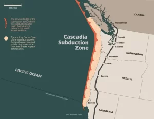
The ground beneath our feet could be more complex than
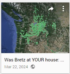
Explore Historical Field Research with Google Maps Did J harlan

National Volunteer Week is an annual celebration established in the
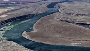
“Scabland” – the Movie, A Google Earth Odyssey “Scabland” is

In my “Tales from the Trail” I usually highlight a

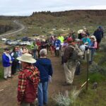





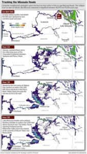
ICYMI (in case you missed it) — Floodwaters rise more than 1,000 feet as they slam into the Columbia River Gorge from the east. The torrent blasts through the narrows at 60 mph, carrying truck-size boulders and house-size icebergs. Reaching Portland, water loaded with gravel and dirt roils to a

Lake Missoula filled many times and emptied catastrophically in many Missoula Floods. Rhythmite sequences [a series of repeated beds of similar origin] at numerous localities provide this evidence: slack-water rhythmites in backflooded tributary valleys below the dam indicate multiple floods, and varved rhythmites in Lake Missoula attest to multiple fillings
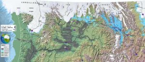
An interesting, 4 minute captioned video from UC Santa Cruz (ingomar200) of a satellite-view computer simulation illustrating flood paths and transient lakes of an Ice Age Flood. The video shows a physics-based computer simulation of the Great Flood from Glacial Lake Missoula about 15,000 years ago. At the time, an ice dam
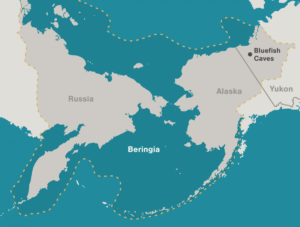
Archaeologists have long debated how and when people entered the Americas. Throughout the 20th century, the mainstream hypothesis was that the Clovis people were the first to pass into Alaska about 13,000 years ago. Stemming from his excavations between 1977 and 1987 at the Bluefish Caves in northwestern Yukon, Jacques
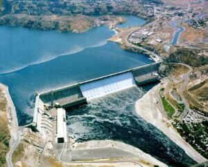
1918 story in the Wenatchee World that Bill Dietrich (former Columbian reporter and later with The Seattle Times) says in his wonderful 1995 book Northwest Passage — The Great Columbia River , “is probably the single most famous newspaper article in Pacific Northwest history. . . It is generally credited
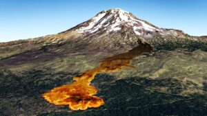
Washington State Geological Survey is collecting, analyzing, and publicly distributing detailed information about our state’s geology using the best available technology – LIDAR – an acronym for Light Detection And Ranging. The main focus of this new push for LIDAR collection is to map landslides, but there are innumerable additional benefits
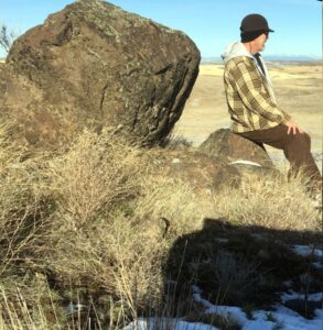
As a city kid in the ‘60s my family occasionally visited my grandparents in the farm country of Washington State’s Waterville plateau. My grandfather and two uncles were wheat farmers near the small town of Withrow, the future site of which had been partly hedged in by the Okanagan lobe
In August, Scott David, a postdoctoral researcher and Karin Lehnigk, a 2nd year PhD candidate from the University of Massachusetts visited the scablands for a week to do field studies. Karin was in search of granite erratics. Samples of these were taken to be processed for Beryllium-10 exposure dating, a