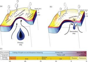
A New Class of Plate Tectonics – Lithospheric Dripping
Crinkles and divots in the surface of Earth on Türkiye’s


Crinkles and divots in the surface of Earth on Türkiye’s

The Washington Post recently published an article about a scientific
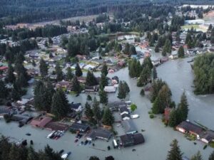
Around 3:30 in the morning on August 6, the first
One of Montana’s other floods has been tickling the curiosity

The cliffs at Discovery Park in Seattle offer a glimpse

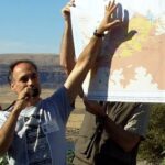
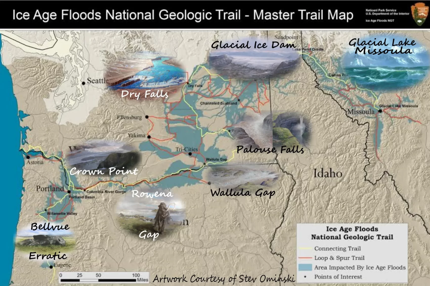
In the approximate center of the state of Washington is
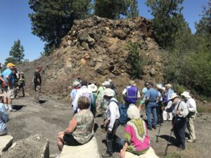
This year’s IAFI June Jamboree delved into the fascinating geological
The ground beneath our feet could be more complex than
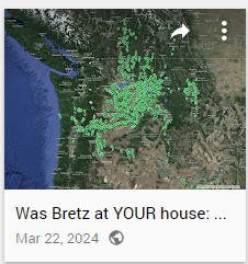
Explore Historical Field Research with Google Maps Did J harlan
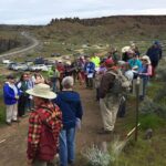
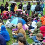
National Volunteer Week is an annual celebration established in the
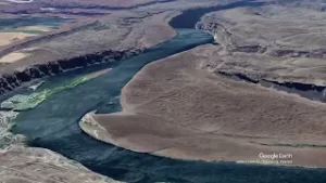
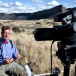
“Scabland” – the Movie, A Google Earth Odyssey “Scabland” is
In my “Tales from the Trail” I usually highlight a

Moses Coulee, a Washington state wonder, has puzzled geologists for

Max Vuletich, a first grader at Jefferson Elementary in Spokane,

Wenatchee, Washington is often called the “Apple Capital of the


This feature-filled video by Tom Foster and Nick Zentner explores the evidence for Glacial Lake Missoula, and provides a treasure trove of places to visit and sights to see when you plan your field trip to the area.

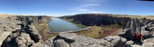
Williams Lake Cataract is an ancient, dry waterfall left behind along the Cheney-Palouse Scabland Tract in eastern Washington after Ice Age flooding recessionally ripped out underlying basalt to produce this massive cataract. Video produced by Bruce Bjornstad, Ice Age Floodscapes

There’s a Columbian Mammoth hiding out in Coyote Canyon down Kennewick way, and MCBONES Research Center Foundation is working to uncover his/her hiding place. For a small contribution you can tour this hide-and-seek site, or you can volunteer to help uncover the hidden mammoth. Sound interesting? Find out more in
As a city kid in the ‘60s my family occasionally visited my grandparents in the farm country of Washington State’s Waterville plateau. My grandfather and two uncles were wheat farmers near the small town of Withrow, the future site of which had been partly hedged in by the Okanagan lobe
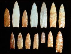
Richard Waitt kindly shared his recent paper published June 2016 in Quaternary Research, titled “Megafloods and Clovis cache at Wenatchee, WA.” “It covers the reach mainly from Chelan Falls to below West Bar, tries to tell the story of sequential megafloods coming to Wenatchee area by different routes at different
With all deference to the book and movie “The Martian”, wouldn’t you, as part of an interplanetary expedition, prefer to be protected from the radiation, micro-meteorites and extreme temperature fluctuations of the Moon or Martian surface? Though some of the hazards depicted in “The Martian” are way over-dramatized (the thin

The Columbia River Gorge is an incredibly popular area to visit, and that’s for good reason, the setting is uniquely spectacular. The Gorge encompasses: Easily accessible ecozones that range through boreal conifer forests, oak woodlands, high desert grasslands and alpine environments in only 40 miles, Dazzling viewpoints and scenery, including
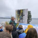
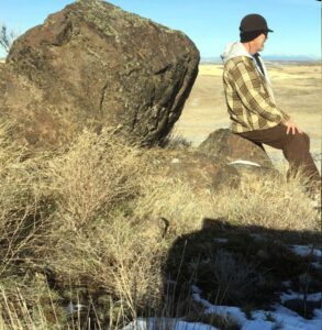
In August, Scott David, a postdoctoral researcher and Karin Lehnigk, a 2nd year PhD candidate from the University of Massachusetts visited the scablands for a week to do field studies. Karin was in search of granite erratics. Samples of these were taken to be processed for Beryllium-10 exposure dating, a