Lyle Cherry Orchard Trail Geology Recording
The Lyle Cherry Orchard Trail is a moderately strenuous trail




The Lyle Cherry Orchard Trail is a moderately strenuous trail

The 2023 GSA Outburst Floods Penrose Conference made a field

The Wenatchee Valley Erratics’ next program will be on Tuesday, June
The first wave of humans into the Americas during the
By measuring radioactive elements in rocks from Earth and other
Spring is coming and the trail is starting to wake
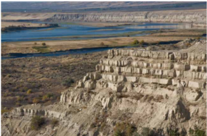
Appearing much different than the nearly ubiquitous Columbia River basalt
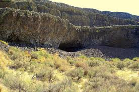
Tucked into the Lenore Canyon are the Lake Lenore Caves. Along
During the last ice age, which route was taken by

Timing, Topography and Type (“Rock Type” that is) Most of

Palouse Falls is visited by thousands each year. The number
Missoula Strandlines Eddy Narrows Beacon Rock Cape Disapointment I’d like


The Othello Sandhill Crane Festival announced the 2023 theme as
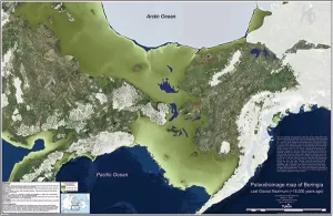
By reconstructing the sea level history of the Bering Strait,


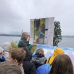


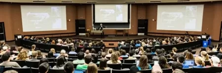


Balbas et. al. use cosmogenic beryllium-10 dating methods to further constrain the timing of ice sheet retreat, as well as the potential pathways for megafloods from both Lake Missoula and Lake Columbia. Read this fascinating Geology article summarizing their findings. Balbas2017 – Missoula Flood Chronology In summary, our new chronological

Do you ever hear the Led Zepplin song “Kashmir” in your head when contemplating the Ice Age Floods? “I am a traveler of both time and space. To be where I have been” –Robert Plant, Led Zepplin’s Kashmir My 11-year old daughter and I are on a 5-day, 4-night raft
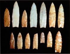
Richard Waitt kindly shared his recent paper published June 2016 in Quaternary Research, titled “Megafloods and Clovis cache at Wenatchee, WA.” “It covers the reach mainly from Chelan Falls to below West Bar, tries to tell the story of sequential megafloods coming to Wenatchee area by different routes at different
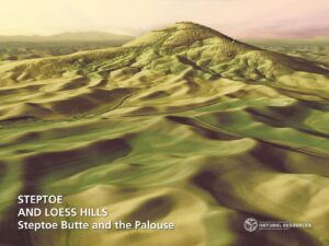
The Washington Geological Survey (WGS) has released 50 high-resolution lidar-derived images of the State’s geology and geomorphology through the Washington State DNR’s Flickr page. The images are available in 16:9 format (7,200 x 4,050 pixels) and 4:3 format (7,200 x 5,400 pixels). Ten of the images are new (see below)
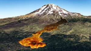
Washington State Geological Survey is collecting, analyzing, and publicly distributing detailed information about our state’s geology using the best available technology – LIDAR – an acronym for Light Detection And Ranging. The main focus of this new push for LIDAR collection is to map landslides, but there are innumerable additional benefits
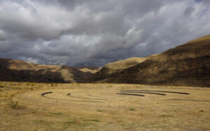
On October 7th at Chief Timothy Park near Clarkston, WA at the latest Confluence Story Gathering, Thomas Morning Owl (Umatilla tribe) noted there are indigenous people’s stories of massive floods going back to 14,000 years ago. While he didn’t elaborate, it would be very interesting to have these stories shared as first-hand
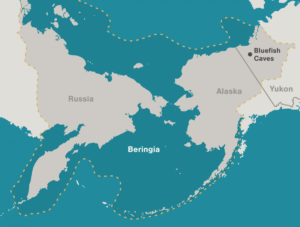
Archaeologists have long debated how and when people entered the Americas. Throughout the 20th century, the mainstream hypothesis was that the Clovis people were the first to pass into Alaska about 13,000 years ago. Stemming from his excavations between 1977 and 1987 at the Bluefish Caves in northwestern Yukon, Jacques
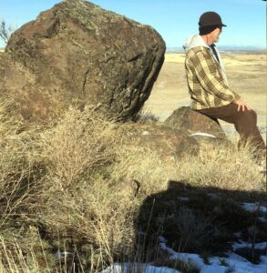
As a city kid in the ‘60s my family occasionally visited my grandparents in the farm country of Washington State’s Waterville plateau. My grandfather and two uncles were wheat farmers near the small town of Withrow, the future site of which had been partly hedged in by the Okanagan lobe