
Following the Flood (Recent and Ice Age)
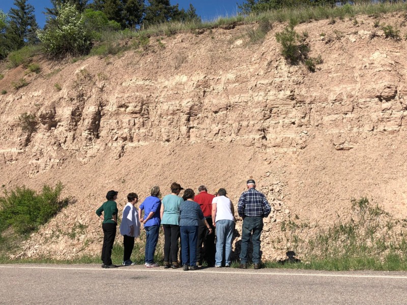
The record setting floods along the Clark Fork River did not deter the participants who climbed aboard the small bus from the Montana Natural History Center on a field trip sponsored by the Glacial Lake Missoula Chapter on May 13. In fact, the powerful waters rushing downstream fueled the imagination of what the ice age floods might have been like.
The trip was designed as both an introductory tour of geologic features and a dry run of the route outlined in our revised travel brochure. It was also a test of the geo-referenced map that is now available for use with the Avenza mapping app for the smartphone, which shows exactly where you are located on the route even in areas with no cell phone coverage. It was deemed a success on both counts.
The weather was bright and sunny, which made viewing of some notable features – the Camas Prairie ripple marks and the Nine Mile rhythmites – especially clear. After a pleasant lunch at Quinn’s Hot Springs Resort, the group visited the new display at Paradise Center in Paradise, Montana, on the proposed National Geologic Trail. This large 3-D topographic relief map, which illustrates the extent and high water level of the entire lake, is a great new tool for understanding the ice age floods story.
The tour did not cover all the points of interest in the brochure, nor did it include some other more distant features. These are proposed for another field trip in the fall, so stay tuned