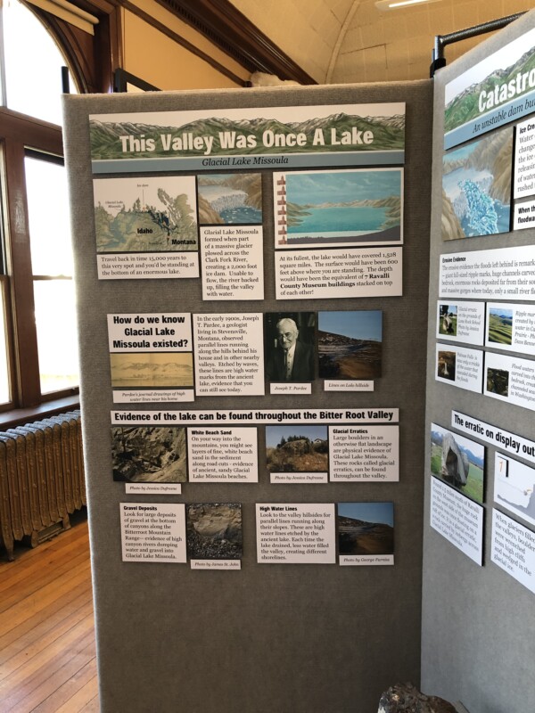
Display on Glacial Lake Missoula in the Bitterroot Valley
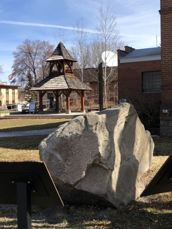
The indoor display at the Ravalli County Museum on Glacial Lake Missoula and geologic features of interest in the Bitterroot Valley in Montana is now closed but has been moved to storage for possible future use. An outdoor kiosk on Glacial Lake Missoula with several large signs centered around a large erratic relocated from a local ranch is still in place.
Glacial Lake Missoula covered the City of Hamilton, Montana, to a depth of more than 250 feet and extended as far south along the Bitterroot River as present Lake Como. The lake created numerous local landscape features which are apparent when you know what to look for and where to look.
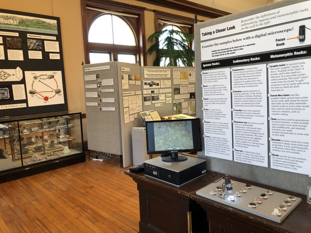
In addition to information about the ice age floods, this exhibit highlighted the geology of the region, including how it was formed, a collection of minerals and precious metals, and samples and even cores taken from various nearby mines. A microscope connected to a display screen, a light up display case of crystals, and super enlarged photographs of rocks allowed close inspection.
Visitors could create their own topographic map illustrations using the same tools as early geologists such as a 1922 guide on map making and a stereoscope. J.T. Pardee’s ground breaking paper presented in 1942 on “unusual currents” and some of his drawings were on display.
The Ravalli County Museum and Historical Society is located in the former County Courthouse at 205 Bedford Street in Hamilton. Check them out at Facebook.com/ravallimuseum or ravallimuseum.org or call 406.363.3338.