Ice Age Floods – Giant Current Ripples
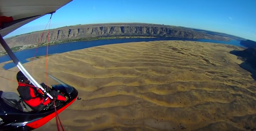
Check out this 2-Minute Geology expedition with Nick Zentner and Tom Foster exploring the Giant Current Ripples at West Bar and Camas Prairie. Ice age floodwater 650 feet deep – moving at 65 miles per hour – left Giant Current Ripples along the Columbia River at West Bar! The ripples at West Bar are 20 feet high, spaced up to 100 yards apart. Giant Current Ripples at Camas Prairie, Montana are also described. The Montana ripples helped Joseph Pardee understand that Glacial Lake Missoula had emptied suddenly. Learn more about Glacial Lake Missoula, Lake Bonneville and the Ice Age Floods at http://hugefloods.com/
Palagonite Maar Near Hood River
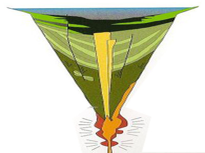
Palagonite Maar Just west of Hood River is a distinctive, short (<500 m) section of stratified orangeish oxidized volcanic tephra and highly fractured lava bombs. This mixture of oxidized volcanic particles ranging down to sub-micrometer sizes mixed with the larger lava bombs is a palagonite tuff. This deposit is the result of a “phreatic” eruption when lava erupted explosively from a volcanic vent through water, like a lake or groundwater. The rapid heating expansion of water to steam blew the rising lava out of the vent as tephra (volcanic rock fragments) ranging from ash-size to volcanic bombs (blobs of lava) up to several inches in diameter. Rapid oxidation of the water-quenched tephra turned the iron content to rust, producing the orangeish color of the tephra. The lava bombs were heavily fractured due to rapid cooling of the blob as it came in contact with the water and as it flew through the air. The tephra deposits dip inward on either side of a central gap toward the gap, with NE dips in the western section and NW dips in the eastern section, forming an inverted cone that converges downward toward the central gap. This feature is a “maar” deposit; an inverted cone of tephra and lava resulting from rapidly rising magma interacting with groundwater causing a steam-driven explosive eruption that builds the surrounding maar. The vent of this maar was in the area of the central gap.
Lava + Ice + Water = Floods Geology
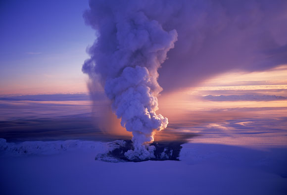
Floods of lava (Columbia River Basalts) and Ice Age Floods of water (Lake Missoula floods and the Bonneville Flood) are world-famous topics among geologists. To have both sets of floods in the same area means the geology of the Inland Northwest is truly Disneyland for Geologists! The program begins in Lewiston, Idaho where the floods of lava and water are beautifully on display near the mouth of Hells Canyon. Early on, the Columbia River Basalts – eruptions of fluid lava from deep fissures – are featured. The Missoula Floods from Montana and the Bonneville Flood from Utah – the Ice Age Floods – are surveyed at an introductory level. And finally, the interaction between bedrock and fluid dynamics of the floodwater are highlighted through discussion of Ice Age erosional and depositional landforms. Key locations in the Pacific Northwest are featured, including the Snake River Canyon, Grand Coulee, Dry Falls, the Drumheller Channels, Wallula Gap, and the Columbia River Gorge. Tom Foster and Nick Zentner (Central Washington University) had been hiking together in eastern Washington for years. The result? A series of short videos that showcase geological wonders in the Pacific Northwest. This 16-minute video – Huge Floods in the Pacific Northwest – offers an introductory overview of spectacular geologic events that impacted much of Washington, Oregon, and Idaho. More than a dozen “2 Minute Geology” episodes are now available on Nick’s 2-Minute Geology YouTube channel.
Drone Footage Of Icelandic Lava River
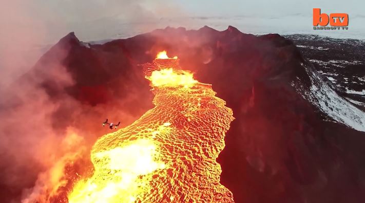
Lake Of Fire: Drone Footage Of Icelandic Lava River 1:46 mins A drone camera flies over a red hot lava lake in freezing cold Iceland and nearly melts in the process. The everchanging rivers of glowing lava shining through the gap between floating pieces of cooled crust are mesmerizing. The stunning footage was captured by US videographer Eric Cheng in February, 2015 and shows smoke and fire burning off the black marbled lava. Videographer / Director: Eric Cheng Producer: Mark Hodge, Chloe Browne Editor: Kyle Waters
Nova – Mystery of the Mega Flood
Monument Valley, the Grand Canyon, Niagara Falls: these ancient wonders show how nature’s forces have shaped the face of our planet on a vast timescale, how great landmarks are the work of millions of years of slow, imperceptible erosion by wind and water. But here, across 16,000 square miles of Washington State, abrupt rips and scars in the landscape defy this explanation. What could have formed these tall canyons and immense dry waterfalls? What could have gouged out these gigantic potholes? Whatever happened, the forces unleashed here created one of the Earth’s most enigmatic landscapes. For more than a century, scientists have been grappling with this geological mystery, descending through thousands of years of Earth’s history in a struggle to uncover, layer by layer, how this landscape was formed. Now the clues point to a sequence of events culminating in a massive natural catastrophe. Explore the features and reasoning that lead to the recognition of the “Missoula (Outburst) Floods” and helped to solve “The Mystery of the Megaflood (Spokane Floods or the Bretz Floods)”
Ice Age Floods’ Features
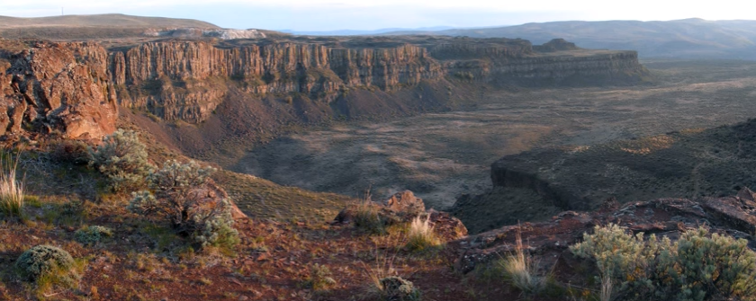
This is an amazing compilation of extra ordinary photographs that have been expertly labeled to assist the viewer’s understanding of the evidence supporting the creation of the Channelled Scablands in Eastern Washington State, USA. The photographs are panned and zoomed in and out on providing an overview and close-ups of flood evidence. Music playing in the background helps the viewer focus on the information displayed in an unhurried manner. The viewer can stop the screen at any time to give them more time to study the information displayed in great clarity. For teaching, this methodology is suburb! Much better than a regular film or static photos. YouTube slideshow prepared by Bruce Bjornstad, published Dec 8, 2012
Missoula Flood Rhythmites
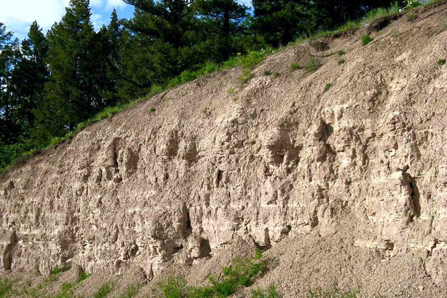
Lake Missoula filled many times and emptied catastrophically in many Missoula Floods. Rhythmite sequences [a series of repeated beds of similar origin] at numerous localities provide this evidence: slack-water rhythmites in backflooded tributary valleys below the dam indicate multiple floods, and varved rhythmites in Lake Missoula attest to multiple fillings of the lake. Below the dam, most slack-water rhythmites are graded beds deposited by flood bores surging up tributary streams. They grade upward from coarse sand and gravel to silt, with occasional ice-rafted erratics. The tops of some rhythmites are marked by thin paleosols, or buried soil horizons, which indicate a period of subaerial exposure. Thus, each rhythmite represents a separate flood event, and each deposit records multiple floods. The most complete record occurs at Sanpoil Valley, an embayment on the north side of Lake Columbia, where varved rhythmites document 89 flood events, with the period of time between floods initially increasing to a maximum of about 50 years and then decreasing to less than 10 years. Thousands of varves were deposited in Lake Missoula. At the best-known Ninemile locality near Missoula, about 40 rhythmites consist of varves overlain by a sand/silt layer. The varves were deposited on the floor of Lake Missoula, and the sand/silt layers represent subaerial exposure and deposition in a stream. The number of varves in each rhythmite varies from 9 to 40, decreasing regularly upward, and the total number of varves is just less than one thousand. An interpretation of these data would suggest: [1] Lake Missoula filled and emptied [in a catastrophic flood] about 40 times, [2] it took 9 to 40 years to fill the lake, each successive lake requiring less time, and [3] the process was repeated over a period of about one thousand years. Because Ninemile is about in the middle of the very long lake, the record here would not provide a complete history of the lake. Correlating Ninemile with the downstream record would suggest these events were in the latter half of the entire flood history.
Glacial Lake Missoula
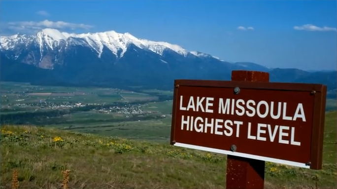
This feature-filled video by Tom Foster and Nick Zentner explores the evidence for Glacial Lake Missoula, and provides a treasure trove of places to visit and sights to see when you plan your field trip to the area.
Ice Age Flood Simulation Video
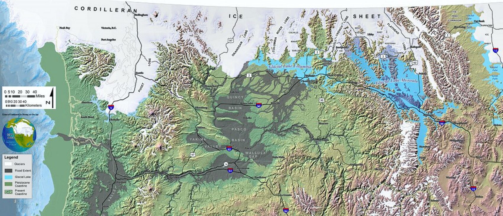
An interesting, 4 minute captioned video from UC Santa Cruz (ingomar200) of a satellite-view computer simulation illustrating flood paths and transient lakes of an Ice Age Flood. The video shows a physics-based computer simulation of the Great Flood from Glacial Lake Missoula about 15,000 years ago. At the time, an ice dam blocked the Clark Fork River near the Idaho-Montana border and backed up a lake about equal in volume to Lake Huron. When the ice dam broke a cataclysmic flood scoured much of central Washington State leaving a vast region covered with erosional remnants.
