IAFI Gorge-ous Gathering 2025 Explored the Columbia River Gorge
The 2025 Gorge-ous Gathering, the annual membership meeting of the





The 2025 Gorge-ous Gathering, the annual membership meeting of the


The origin story of Hells Canyon, North America’s deepest river

New research reveals industrial waste can turn into rock in
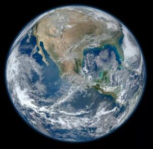
Background The 4.5 billion-year-old Earth is the only known astronomical

Evidence from Earth’s deep past suggests dramatic subduction zones can
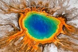
Scientists have discovered a “breathing” magma cap beneath the Yellowstone
Background The 4.5 billion-year-old Earth is the only known astronomical

What would you say about a volunteer who has spent

This year marks the 30th anniversary of the Ice Age
Just a short drive east of Cheney, Washington, lies Fish
We know the story…a world gripped by ice. Some twenty

The Mossback’s Northwest production team met in Thurston County last week to

The Oregon Naturalist Program at Oregon State University is partnering




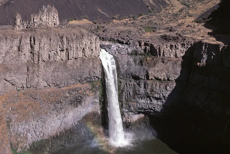
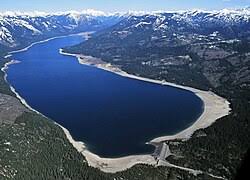
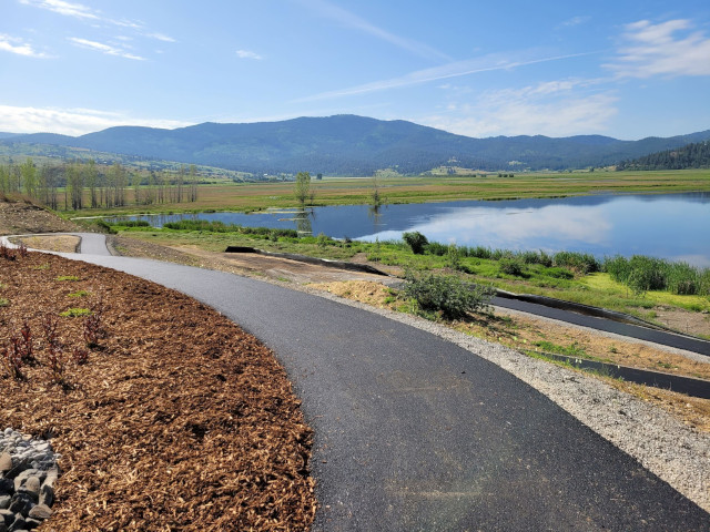



Williams Lake Cataract is an ancient, dry waterfall left behind along the Cheney-Palouse Scabland Tract in eastern Washington after Ice Age flooding recessionally ripped out underlying basalt to produce this massive cataract. Video produced by Bruce Bjornstad, Ice Age Floodscapes
Check out this video about the Washington 100, a cool new geotourism website by the Washington Geological Survey featuring 100 places to experience amazing geology in Washington State. Then explore the website itself at wa100.dnr.wa.gov
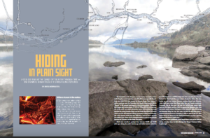
Millions of people who visit and pass through the Gorge each year don’t realize the scope of the cataclysmic stories behind the stunning and tranquil beauty they are surrounded by. The Spring 2019 edition of The Gorge Magazine (page 50) attempts to address that premise with a feature article about
Washington State Geological Survey is collecting, analyzing, and publicly distributing detailed information about our state’s geology using the best available technology – LIDAR – an acronym for Light Detection And Ranging. The main focus of this new push for LIDAR collection is to map landslides, but there are innumerable additional benefits
When and how did the first people come to the Americas? The conventional story says that the earliest settlers came via Siberia, crossing the now-defunct Bering land bridge on foot and trekking through Canada when an ice-free corridor opened up between massive ice sheets toward the end of the last
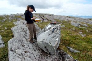
In August, Scott David, a postdoctoral researcher and Karin Lehnigk, a 2nd year PhD candidate from the University of Massachusetts visited the scablands for a week to do field studies. Karin was in search of granite erratics. Samples of these were taken to be processed for Beryllium-10 exposure dating, a

An ancient flood seems to have stalled the circulation of the oceans, plunging the Northern Hemisphere into a millennium of near-glacial conditions. Thirteen thousand years ago, an ice age was ending, the Earth was warming, the oceans were rising. Then something strange happened – the Northern Hemisphere suddenly became much

Bruce Bjornstad is at it again with his awesome Ice Age Floodscapes drone videos, this one from Frenchman Coulee. Watch it below and visit his Ice Age Floodscapes YouTube channel.for many more.