26
September
2026
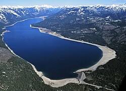
Cle Elum Lake,
47° 15' 10.0800" N 121° 3' 47.3400" W
Cle Elum,
WA
United States
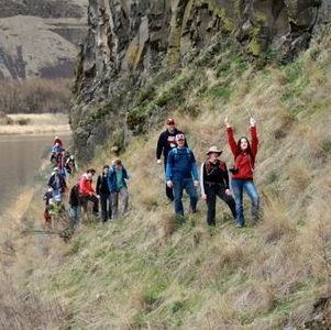
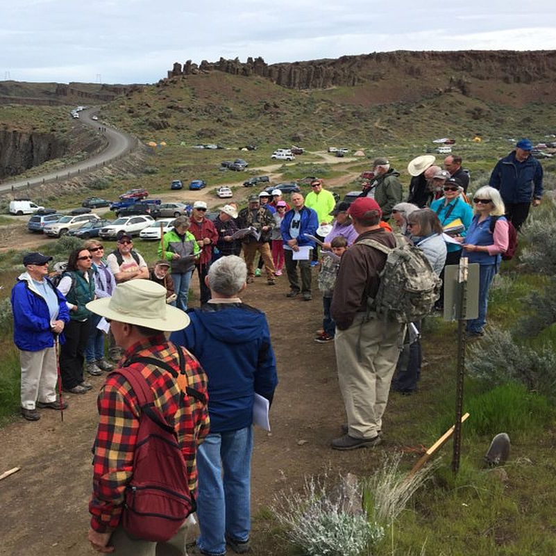
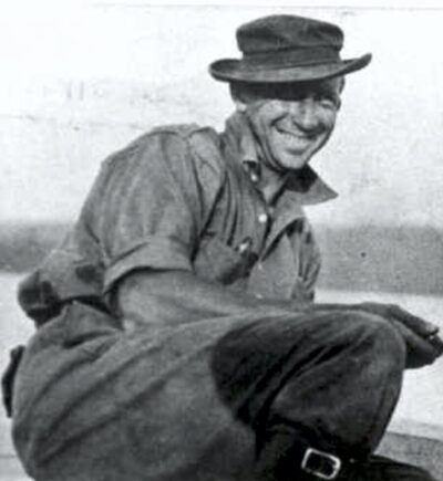
Mark your calendars! Mike Horner, Tom Ring, and Karl Lillquist will lead a field trip to the Lake Cle Elum on Saturday 26 September 2026. Plan on ~10am-4pm. They are still working out the details of the trip but it will likely include discussion of: 1) glaciation’s role in shaping...