Explore the Ice Age Floods with 12 New IAFI Brochures

IAFI has compiled 12 brand-new, full-color brochures into a packaged set to help guide you in visiting spectacular ice-age features across all of our 11 Ice Age Floods chapter areas. With these brochures as your guides you can explore the paths of the Ice Age Floods from Montana through Idaho, central Washington and northern Oregon, and even delve into the many glacial features of northwest Washington. Click on any of the brochure covers below to see a full size printable PDF version (note: you’ll need to scale down to print on 8.5×11 letter size paper). Packets of all 12 full-size brochures are NOW available through the IAFI Store and at participating local outlets. Click a cover to open a PDF of any of the brochures below
Bretz and His Floods Story – National Geographic
National Geographic has published an outstanding article, “Formed by Megafloods, This Place Fooled Scientists for Decades”, about J Harlan Bretz and his outrageous, fantastical theories of a landscape shaped by huge floods. Most Ice Age Floods aficionados are generally aware of the story, but this one is so detailed and well written it’s worth reading for the story-telling value alone. Please see: This National Geographic site:
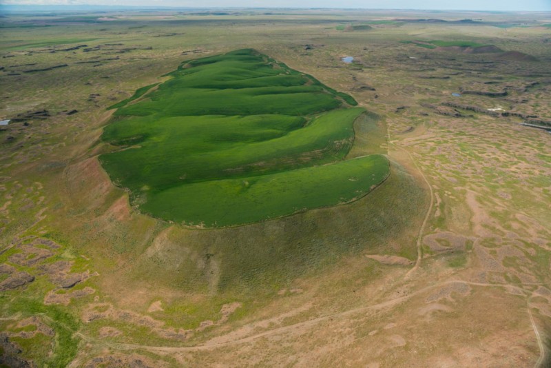
Washington’s Ice Age Floods – ESRI Story Map
The Washington Geological Survey (formerly the Division of Geology and Earth Resources) has just released an ESRI story map about the Ice Age Floods in Washington. The story map: “tells the story of cataclysmic outburst floods that shaped the landscape of the Pacific Northwest during the last ice age. With imagery, maps and video, this story map follows the devastating deluge of the Missoula floods as it tore across the landscape, from its origins in western Montana to its terminus at the Pacific Ocean. Sites along the Ice Age Floods National Geologic Trail are featured, with an emphasis on flood features in Washington State.” Entitled Washington’s Ice Age Floods, it is best viewed on a desktop or laptop computer. Mobile devices will not show all of the content. It is navigated by scrolling your mouse through the slides. There are a few animated sections that may take a second or two to load. [weaver_iframe src=’https://wadnr.maps.arcgis.com/apps/Cascade/index.html?appid=84ea4016ce124bd9a546c5cbc58f9e29′ height=600 percent=100]
Ice Age Floods Facebook Page
You may want to ‘Like‘ the Ice Age Floods Institute Facebook page to stay abreast of all the News and Shares coming out from the Institute. We’re sharing news and articles well beyond the Floods, including geology, natural history, general articles about the area, videoed talks, events, and any number of articles of general interest. Floods of water, floods of lava, rockin’ rocks, 2-Minute Geology, paleontology, and the mystical birth of the universe all get their 15+ seconds of fame. We’ll keep our eyes open to find and share items of interest to you, and of course you can share with us too.
Missoula Flood Rhythmites
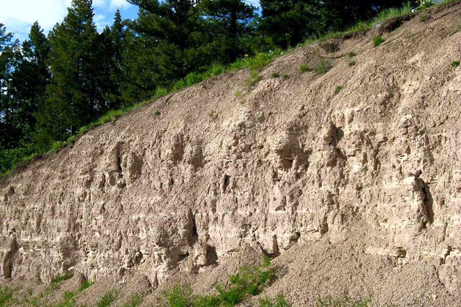
Lake Missoula filled many times and emptied catastrophically in many Missoula Floods. Rhythmite sequences [a series of repeated beds of similar origin] at numerous localities provide this evidence: slack-water rhythmites in backflooded tributary valleys below the dam indicate multiple floods, and varved rhythmites in Lake Missoula attest to multiple fillings of the lake. Below the dam, most slack-water rhythmites are graded beds deposited by flood bores surging up tributary streams. They grade upward from coarse sand and gravel to silt, with occasional ice-rafted erratics. The tops of some rhythmites are marked by thin paleosols, or buried soil horizons, which indicate a period of subaerial exposure. Thus, each rhythmite represents a separate flood event, and each deposit records multiple floods. The most complete record occurs at Sanpoil Valley, an embayment on the north side of Lake Columbia, where varved rhythmites document 89 flood events, with the period of time between floods initially increasing to a maximum of about 50 years and then decreasing to less than 10 years. Thousands of varves were deposited in Lake Missoula. At the best-known Ninemile locality near Missoula, about 40 rhythmites consist of varves overlain by a sand/silt layer. The varves were deposited on the floor of Lake Missoula, and the sand/silt layers represent subaerial exposure and deposition in a stream. The number of varves in each rhythmite varies from 9 to 40, decreasing regularly upward, and the total number of varves is just less than one thousand. An interpretation of these data would suggest: [1] Lake Missoula filled and emptied [in a catastrophic flood] about 40 times, [2] it took 9 to 40 years to fill the lake, each successive lake requiring less time, and [3] the process was repeated over a period of about one thousand years. Because Ninemile is about in the middle of the very long lake, the record here would not provide a complete history of the lake. Correlating Ninemile with the downstream record would suggest these events were in the latter half of the entire flood history.