Travelers’ Rest State Park
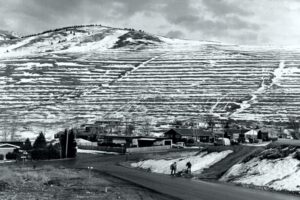
Travelers’ Rest State Park Ice Age Floods National Geologic Trail Located at an historic and contemporary crossroads, Travelers’ Rest State Park and National Historic Landmark is a place where visitors can say with certainty that they are walking in the footsteps of Lewis and Clark. The Park is at the core of a campsite used by the Corps of Discovery from September 9 – 11, 1805 and again from June 30 – July 3, 1806. In the summer of 2002, archaeologists uncovered evidence of the Corps of Discovery’s visit to the area, including a trench latrine tainted with mercury, fire hearths, and lead used in the repair and manufacture of firearms. The discovery makes Travelers’ Rest the only campsite on the Lewis and Clark Trail with physical evidence of the expedition. For centuries Native Americans also used the area as a campsite and trail junction. Salish, Pend d’Oreille and Nez Perce peoples were among those who traditionally occupied the area. Native American storytellers bring their history, culture and society to life as part of the programming at Travelers’ Rest State Park. The Bitterroot River is the primary body of water in this area, now running about 500 feet below the surface of what was once Glacial Lake Missoula, which extended all the way to the area now indicated by a high water marker at Lake Como. There are few vestiges of the Lake in this area but information and a display are located at the Visitor Center. Travelers’ Rest is an idyllic spot for strolling the park’s trails, and offers a rich bird habitat, with more than 115 species recorded within the park boundaries. Quick Facts Location:Located 1/2 mile west of Lolo on Hwy 12 Significance:Located at the crossroads of culture, this is the only archaeologicaly verified campsite of the Lewis and Clark Expedition, as well as the traditional homeland of the Selis Qlispe people. Designation:National Historic Landmark