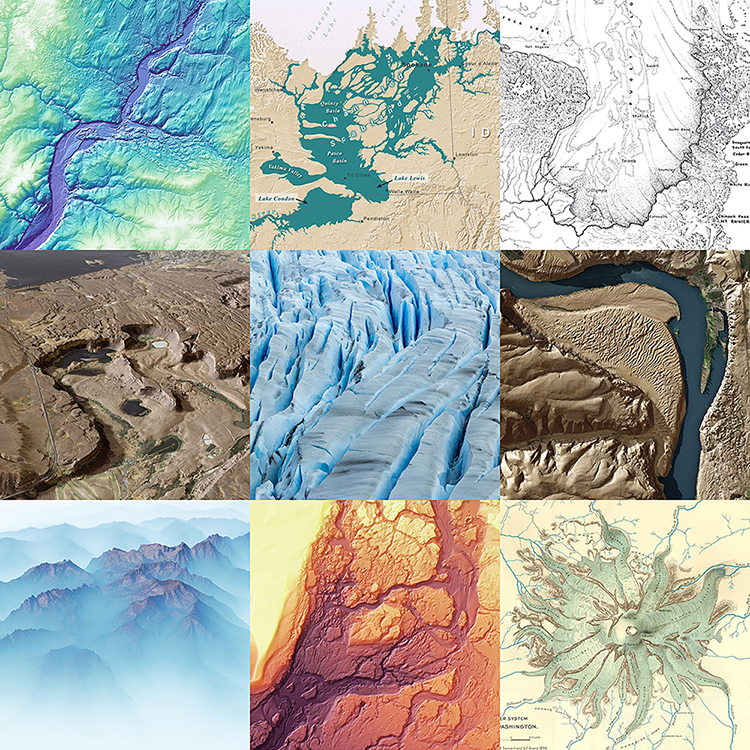
Mapping the Glacial Legacy of the Pacific Northwest
Glaciers have shaped much of the Pacific Northwest’s landscape over the past 15,000 years. Geologists and cartographers have been mapping and interpreting glacial landforms since the late 19th century. And now LIDAR helps create incredibly accurate, detailed, and stunning maps.