Deep Lake Potholes Field Trip

Sun Lakes State Park Deep Lake Parking Lot (47.58848153536495, -119.34090712166719), WA, United States

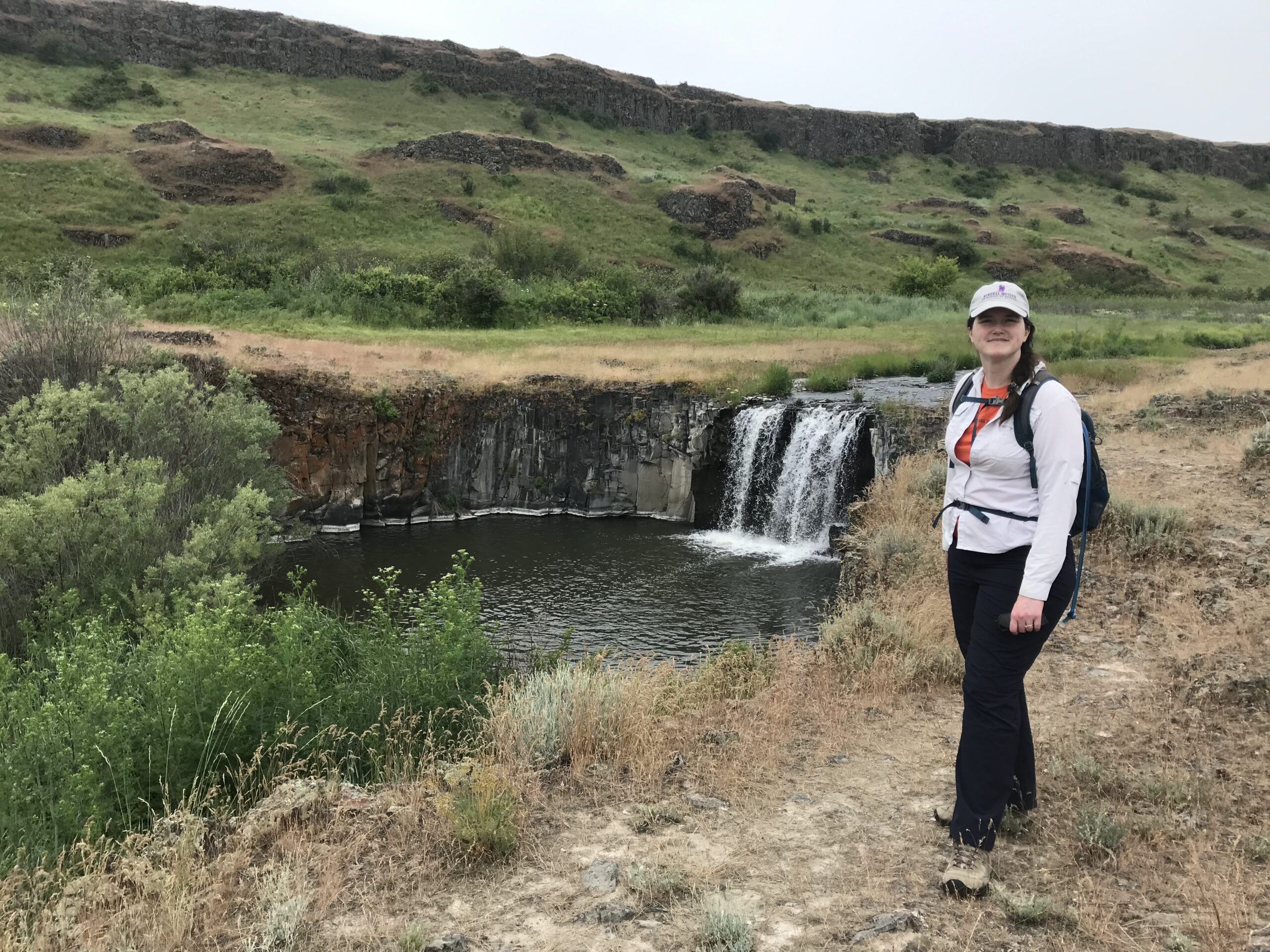
Join Sun Lakes-Dry Falls State Park Rangers for an eye opening field trip to the Deep Lake Potholes in Sun Lakes State Park on Saturday, Sept 16. We will meet in the Deep Lake parking lot at 10:00 AM. Discover Pass is Required. Years ago, Tom Foster blogged about his visits to these incredible potholes: I must have stood at this spot for 15 minutes Saturday - Amazing Ice Age Flood features surrounded me. In this shot the pothole, massive butte and hanging coulee all help one visualize the awesome power of the Ice Age Floods. I'm impressed with the large basalt overhang near the skyline. In Bruce Bjornstad's book "On the Trail of the Ice Age Floods" he describes this undercutting process that was key to the formation of vertical faces in recessional cataracts. The Interpretive Master Plan for the Ice Age Floods in Washington State Parks describes this group of kolk carved depressions - "Another spectacular feature is a tight cluster of the deep potholes beyond Sun Lake just west of Deep Lake. These potholes lie along the valley bottom and require only a 5-10 minute walk from the road." I'd also like to mention that a fall into one of these potholes could be fatal!

Free

Cheney-Spokane Chapter Member Appreciation Picnic & Hikes

Camp Caro Lodge 698 S Sargent Road, Spokane, WA, United States

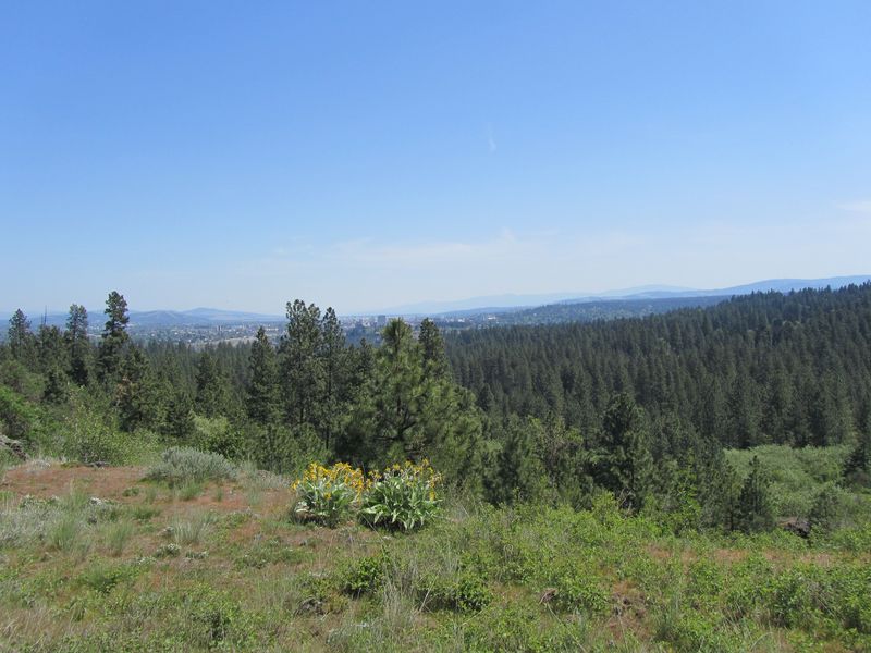
Members and Friends of the IAFI Cheney-Spokane Chapter are invited to a picnic where you can meet and network with others interested in the Floods Story. Also you can have an opportunity to ask several geologists questions about The Floods, meet Board members and learn more about the Chapter, go on a short hike in Dishman Hills after lunch, and have some fun while you learn more about where you live, work and play.  Your immediate family is invited, too, and you can also bring potential new members.  Be sure to RSVP! Camp Caro Lodge is the gem of Spokane Valley and a part of the Camp Caro Community Park.  It borders the Dishman Hills Natural Area and offers 360 degrees of panoramic views. There is a well-maintained lawn that borders the bluffs of Dishman Hills and there is plenty of parking! Bring your own lunches, fruit and chips.  The Chapter will provide a variety of beverages, cookies, desserts, and plates, utensils, cups, and crushed ice. Bring your Floods questions written on a strip of paper for drawings with special prizes!  Some games will be available on the grass lawn. Please RSVP to iaficheneyspokane@gmail.com for all individuals attending in your party. Let us know as quickly as you can so that there will be adequate items available for a successful gathering of “flood enthusiasts!” A word about the hikes: The geologic hikes will start at 1 p.m. and 3 p.m. and are free. We will meet at Camp Caro lower parking lot off of Appleway Boulevard. Geology tour guides will explain and show how the giant floods of the Ice Age sculpted the land in the Dishman Hills. The 1 p.m. hike will be a bit shorter, and the hike beginning at 3 p.m. will be a bit longer and more involved. Bring a picnic lunch at noon to meet members of the local chapter of the Ice Age Floods Institute at Camp Caro Lodge and check out displays with lots of free information. Questions? Call Michael Hamilton 509-747-8147.

Cheney-Spokane Chapter Fishtrap Lake Field Trip / Hike

Fishtrap Lake South Loop

Fishtrap Lake, Washington (BLM Photo) Come join us for a 5-mile hike to explore the Ice Age floods features in the Fishtrap Lake area east of Sprague, WA! The Cheney-Spokane Chapter of the IAFI is scheduling a hike at Fishtrap Lake on Saturday, October 14th. The hike will be led by Don Chadbourne and Chris Sheeran, geologists and board members of the Cheney-Spokane Chapter. Description of Fishtrap Lake Hike We will begin and end at the Fishtrap Lake South Loop Trailhead. The hike will follow the South Loop trail, with a total length of about 5 miles. The trail is mostly single track over dirt and rock, with an elevation gain and loss of about 500 feet. Along the way we will have an intimate view of the channeled scablands that were carved out by the ice age floods and see features including pothole lakes, rock benches, Mima mounds, kolks, and streamlined and scarped Palouse hills. The hike will also provide wide open views of Fishtrap Lake and the surrounding country. This hike is included in On the Trail of the Ice Age Floods – Northern Reaches, by Bruce Bjornstad & Eugene Kiver, but we will be following trails that were constructed after the book was published. Directions to the trailhead From I-90 take Exit 254 and proceed south 3.6 miles on the Sprague Highway. Turn left (east) on Miller Ranch Road and proceed 0.2 miles to the “T” at the Miller Ranch house. Turn right (south) and drive 0.8 miles to the trailhead parking lot. There is a vault toilet at the parking lot. (Google Maps Link: https://goo.gl/maps/9Zz7nwdwziMzHYh69 map coordinates: 47.33381100925525, -117.863529217959) The hike will be limited to 20 hikers. Items to bring with you: appropriate shoes, day pack, water, snacks, appropriate clothing for changes in the weather, sun protection, emergency items, camera and binoculars. Walking poles will be helpful. The hike is free; however, donations for support of Chapter activities will be accepted. For additional questions contact Don at 509-891-5875.

Crystal Caves Hike – Lower Grand Coulee

Crystal Caves - Lower Grand Coulee

Join our Lower Grand Coulee Chapter Outings Coordinator, Gene Wing, and others on 11/18 at 10AM for a hike to the "Crystal Cave" just south of Soap Lake. We will meet in the parking area at the end of Road 23 NW at 10AM. Directions: Follow Hwy 17 North from the city of Soap Lake to Road 23 NW, turn left and continue to the parking area at the end of Road 23. Map coordinates: 47.424369, -119.505622

HIKE: Sacajawea Gravel Bar

Snake River Junction Trailhead

Join the Palouse Falls Chapter for a leisurely, free 2-3 mile hike to visit Sacajawea Bar on the Snake River! Start time: 10:00a Meeting Place: Snake River Junction Trailhead (see Google Maps for further location information). Fees: This is a state park, so a Discovery Pass or a day pass is required for parking. What to bring: Lunch, drinks, snacks, appropriate clothing and footwear, camera, etc. Optional add-on: Juniper Dunes For those who want to carpool from Washtucna, meet at Java Bloom. We will leave at 9:00 am.