🗺️ Cheney-Spokane Chapter Fall Field Trip
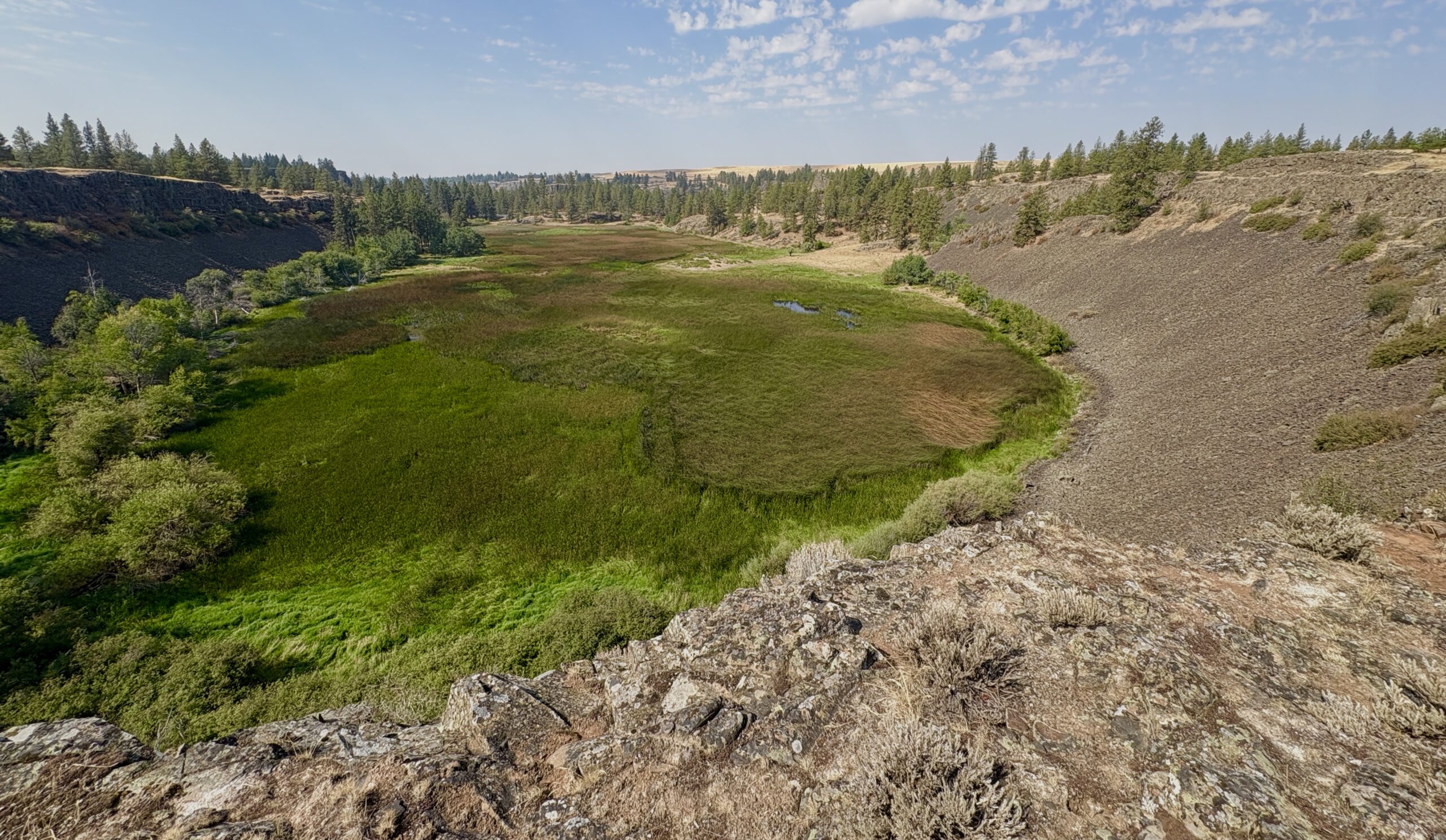
Saturday, October 18, 9:00 AM – approx. 3:00 PM No cost • Car caravan format • BYO food & drinks After a summer of record heat, haze, and delay, cooler weather has finally arrived—and so has our rescheduled fall field trip! Join us on Saturday, October 18, just one week after our annual membership meeting, for a full-day exploration of the northern Cheney-Palouse scabland tract. This year’s trip will spotlight the landscape that first led J Harlen Bretz to propose a massive outwash flood beneath an ice cap—before he reluctantly considered Thomas Pardee’s theory of glacial Lake Missoula as the water source. We’ll trace their steps and interpretations across key sites, guided by: Dr. Linda B. McCollum, Professor Emeritus at EWU and current chapter president Glenn Cruickshank, who has meticulously mapped Bretz’s and Pardee’s field notes using Google Earth 🧭 Trip Overview We’ll meet at 9:00 AM at the Cheney-Spokane Chapter parking lot (1st Street & Cheney Plaza Road, south end of Cheney) for a quick briefing. From there, we’ll caravan to: Turnbull Wildlife Refuge HQ – hike and discussion of scabland channels Williams Lake Cataract – second only to Dry Falls in scale Amber Lake – loess island and classic scabland topography Lunch break in Cheney – bring your own food and drinks Fish Lake (Cheney-Spokane Road) – scour pools and rock blade formations Marshall – glacial outwash delta and broad flood channel features We expect to wrap up around 3:00 PM. All stops have ample parking, so there’s no limit on vehicles—everyone’s welcome! 📝 What to Bring Your own food and drinks A signed liability form (click on the red button below to download and print one that you can bring to the event) Curiosity, good shoes, and maybe a camera! This is a great chance to revisit foundational flood geology with fresh eyes and expert insight. We hope to see you there!